- Usage in publication:
-
- Contadero formation
- Modifications:
-
- Named
- Dominant lithology:
-
- Limestone
- Shale
- Siltstone
- AAPG geologic province:
-
- Orogrande basin
Stevenson, F.V., 1945, Devonian of New Mexico: Journal of Geology, v. 53, no. 4, p. 217-245.
Summary:
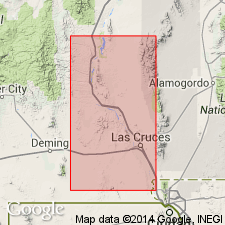
Named for exposures designated the type section in S1/2 sec 8, T13S, R4E, Sierra Co, NM in the Orogrande basin. Named for the political division Contadero used in the Rhodes Canyon area, San Andres Mountains. Rests on Sly Gap formation; the contact is a brown-gray shale (Sly Gap) beneath massive nodular gray limestone (Contadero). Is unconformably overlain by Mississippian Lake Valley limestone; the contact is gray-green shale and cross-bedded siltstone (Contadero) beneath massive, crystalline black oolitic and crinoidal limestone (Lake Valley). Recognized only in Rhodes Canyon. Is 66 ft 5 inches thick at its type section where it consists (in sequence) of: massive, nodular, gray fossiliferous (brachiopods) limestone; gray (red-weathering) calcareous siltstone; olive-brown shale; gray to white paper shale interbedded with olive-brown siltstone; nodular gray limestone interbedded with siltstone; olive-green shale, yellow-green shale, and gray-green shale interbedded with cross-bedded gray siltstone. Correlates with lower part of Percha shale. Correlation chart; cross section; columnar section. Of Late Devonian age. Has same general fauna as Sly Gap.
Source: GNU records (USGS DDS-6; Denver GNULEX).

- Usage in publication:
-
- Contadero Formation*
- Modifications:
-
- Overview
- AAPG geologic province:
-
- Orogrande basin
Summary:
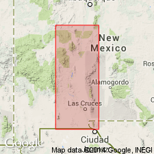
Some of the higher beds which were part of Stevenson's (1945) Contadero have been placed in Flower's (1958, etc.) Thoroughgood and Rhodes Canyon Formations. Has not been recognized outside of the San Andres Mountains, Sierra and Dona Ana Cos., NM in the Orogrande basin. Correlation charts; cross sections. Divided sequence at type into: 1.) lower 36 ft of dark gray shale and brown siltstone or fine grained sandstone and a basal 2 ft thick sandstone, 2.) 4 ft thick calcareous shale with many brachiopods, and 3.) upper 9 ft thick dark gray, nodular limestone with horn corals. Fauna (listed): corals and brachiopods; has 20 genera and 24 species of brachiopods. Is Late Devonian, late Frasnian age. Correlation charts. Cross sections. A marine deposit. Overlies Sly Gap Formation. Underlies Thoroughgood Formation.
Source: GNU records (USGS DDS-6; Denver GNULEX).

- Usage in publication:
-
- Contadero Formation
- Modifications:
-
- Revised
- AAPG geologic province:
-
- Orogrande basin
Summary:
Name applied to all the Devonian rocks above the Sly Gap Formation. Divided into three members: 1) the Salinas Peak Member (new), at base, of late Frasnian, Late Devonian age; 2) Thurgood Sandstone Member, in middle, whose spelling is changed from Thoroughgood and rank is reduced from formation to member and newly assigned to the Contadero, of early Fammenian, Late Devonian age; and 3) the Rhodes Canyon Member, at top, also reduced in rank from formation to member and newly assigned to the Contadero, of late Fammenian, Late Devonian age. Divisible into three members in northern San Andres Mountains north of Hembrillo Canyon, Sierro Co, NM, Orogrande basin, where Thurgood is present. Definition of formation used in this report follows Stevenson (1945) who assigned all the Devonian above Sly Gap Formation to the Contadero, a contact of argillaceous and nodular limestone (Sly Gap) with soft red shale (Salinas Peak). Cross section; nomenclature chart; geologic map.
Source: GNU records (USGS DDS-6; Denver GNULEX).
For more information, please contact Nancy Stamm, Geologic Names Committee Secretary.
Asterisk (*) indicates published by U.S. Geological Survey authors.
"No current usage" (†) implies that a name has been abandoned or has fallen into disuse. Former usage and, if known, replacement name given in parentheses ( ).
Slash (/) indicates name conflicts with nomenclatural guidelines (CSN, 1933; ACSN, 1961, 1970; NACSN, 1983, 2005, 2021). May be explained within brackets ([ ]).

