- Usage in publication:
-
- Concepcion Formation*
- Modifications:
-
- Named
- Dominant lithology:
-
- Volcanics
- AAPG geologic province:
-
- Caribbean region
Summary:
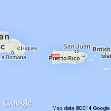
Concepcion Formation, here named, consists of near-vent dacitic and rhyodacitic pyroclastic rocks and lavas associated with two separate but related vent areas in northwest PR. In Municipio de las Marias it consists of gray to green thin-bedded tuff in the west and pale-gray to greenish-gray lavas and closely related small intrusive bodies in the east Asecond vent area 14 km W-NW at Cerro Gordo [in the Central la Plata quadrangle] consists of greenish-gray rhyodacitic pumice lapilli tuff. Is in fault contact with the Rio Blanco Formation of Cretaceous age. Conformably underlies the Mal Paso Formation. Age is Eocene based on Foraminifera in the overlying Mal Paso.
Source: GNU records (USGS DDS-6; Reston GNULEX).

- Usage in publication:
-
- Concepcion Formation*
- Modifications:
-
- Revised
- Age modified
- AAPG geologic province:
-
- Caribbean region
Summary:
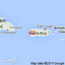
Concepcion Formation is redefined to include only grayish-green plagioclase and pyroxene porphyry lavas that crop out in Municipio de las Marias, San Sebastian and adjacent Maricao quadrangles. Rocks in the Central la Plata quadrangle formerly included in the Concepcion are reassigned to the Palma Escrita Formation. These rocks conformably underlie the Mal Paso Formation and are Eocene. Contacts are obscured by faulting; faults separate Concepcion from the Rio Blanco Formation on the southwest and from the Palma Escrita and Mal Paso on the northeast. Concepcion is Late Cretaceous (Campanian-Maastrichtian) based on Foraminifera in a limestone lens in the Concepcion formerly thought to be in the Rio Blanco Formation.
Source: GNU records (USGS DDS-6; Reston GNULEX).

- Usage in publication:
-
- Concepcion Formation*
- Modifications:
-
- Overview
- AAPG geologic province:
-
- Caribbean region
Summary:
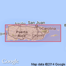
The Concepcion Formation occurs in southwestern Puerto Rico and consists of massive pillowed basaltic lava flows and volcanic breccia interbedded with tuff. Unit rarely contains thin foraminiferal limestone lenses. Thickness unknown. The Concepcion is of Late Cretaceous age.
Source: GNU records (USGS DDS-6; Reston GNULEX).
For more information, please contact Nancy Stamm, Geologic Names Committee Secretary.
Asterisk (*) indicates published by U.S. Geological Survey authors.
"No current usage" (†) implies that a name has been abandoned or has fallen into disuse. Former usage and, if known, replacement name given in parentheses ( ).
Slash (/) indicates name conflicts with nomenclatural guidelines (CSN, 1933; ACSN, 1961, 1970; NACSN, 1983, 2005, 2021). May be explained within brackets ([ ]).

