

- Usage in publication:
-
- Clinker formation
- Modifications:
-
- Named
- Dominant lithology:
-
- Sandstone
- AAPG geologic province:
-
- Wasatch uplift
- Great Basin province
Summary:
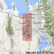
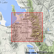
Named. Type section is on west hill of South Mountain, sec 18, T4S, R6W, Wasatch Co, UT in the Uinta basin. Also called Clinker sandstone. Consists of 2,000 ft of brown to tan, fine-grained, calcareous or siliceous, joint bounded, thick-bedded sandstone. Weathers to red-brown, angular jointed talus-covered slopes. Also includes some thin dark gray to black siliceous sandstones and a few black chert beds that contain early Permian, Wolfcampian fusulinids (SCHWAGERINA and PSEUDOSCHWAGERINA). Reference section is at Freeman Peak in the Bingham mining district. Unconformably overlies Curry formation (named). Underlies Kirkman formation. Cross section. Mapped (geologic map) in T3S, Rs2 and 3W, Salt Lake Co, UT on the Wasatch uplift and in Tooele Co, UT in the Great Basin province. Has been recognized throughout the Oquirrh Range, at South Mountain, and in Hobble Creek area east of Springville in Wasatch Mountains.
Source: GNU records (USGS DDS-6; Denver GNULEX).
- Usage in publication:
-
- Clinker Formation
- Modifications:
-
- Not used
Summary:
Name replaced in the district by the Freeman Peak Formation (new). The original section for the Clinker was on Freeman Peak; hence the name is changed.
Source: GNU records (USGS DDS-6; Denver GNULEX).
For more information, please contact Nancy Stamm, Geologic Names Committee Secretary.
Asterisk (*) indicates published by U.S. Geological Survey authors.
"No current usage" (†) implies that a name has been abandoned or has fallen into disuse. Former usage and, if known, replacement name given in parentheses ( ).
Slash (/) indicates name conflicts with nomenclatural guidelines (CSN, 1933; ACSN, 1961, 1970; NACSN, 1983, 2005, 2021). May be explained within brackets ([ ]).