- Usage in publication:
-
- Clear Creek bed
- Modifications:
-
- Original reference
- Dominant lithology:
-
- Limestone
- Clay
- AAPG geologic province:
-
- Bend arch
- Llano uplift
Summary:
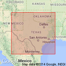
Pg. 387, 392. Clear Creek bed in Canyon division. To south of the Gulf, Colorado and Santa Fe RR, practically all limestone; to north of RR contains considerable clay and in places is divided by 20 to 50 feet of clay. Upper limestone 5 to 15 feet thick; lower limestone 25 to 75 feet thick. Fossiliferous (corals, echinoids, and brachiopods). Total thickness 20 to 140 feet. Member of Canyon division [Canyon is 3rd from top of 5 Carboniferous divisions of Cummins, 1891]. Underlies Bed No. 7 (25 to 100 feet of clay) and overlies Cedarton bed. Age is Pennsylvanian.
[Named from Clear Creek, Brown Co., Colorado River region, central TX.]
Source: Publication; US geologic names lexicon (USGS Bull. 896, p. 458-459).

- Usage in publication:
-
- Clear Creek limestone member
- Modifications:
-
- Revised
- AAPG geologic province:
-
- Bend arch
- Llano uplift
Summary:
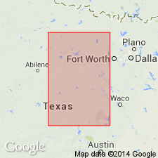
Pg. 24, 31, 35; Univ. Texas Bull., no. 2132, p. 109, 111, 113, 115. Clear Creek limestone, 10 to 25 feet thick, is a member of Brad formation in Colorado River Valley, Colorado River region, central Texas. Underlies Placid shale and overlies Cedarton shale and sandstone; all members of Brad formation. West of Brownwood and along its outcrop across Brown County it is a yellow-brown limestone made up of several more or less discontinuous layers which in places combine to form a solid ledge, but in other places are separated by thin beds of shale. In places it can be distinguished by its dark yellow-brown color; in other places it is light gray and massively bedded. [Age is Pennsylvanian.]
Source: US geologic names lexicon (USGS Bull. 896, p. 458-459).
For more information, please contact Nancy Stamm, Geologic Names Committee Secretary.
Asterisk (*) indicates published by U.S. Geological Survey authors.
"No current usage" (†) implies that a name has been abandoned or has fallen into disuse. Former usage and, if known, replacement name given in parentheses ( ).
Slash (/) indicates name conflicts with nomenclatural guidelines (CSN, 1933; ACSN, 1961, 1970; NACSN, 1983, 2005, 2021). May be explained within brackets ([ ]).

