The National Geologic Map Database is migrating to a new infrastructure. We apologize for any service disruptions during this process.
|
|---|


- Usage in publication:
-
- Clarks Pass Granodiorite*
- Modifications:
-
- Named
- Dominant lithology:
-
- Granodiorite
- AAPG geologic province:
-
- Mojave basin
Summary:
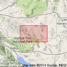
Unit is named the Clarks Pass Granodiorite of the Coxcomb Intrusive Suite (new) for Clarks Pass at the south end of the Sheep Hole Mountains in the south-central part of the Clarks Pass 7.5' quad, San Bernardino Co., CA. Is exposed in southern part of the Sheep Hole Mountains and 2 km southeast of Clarks Pass. Consists of medium-grained, mostly porphyritic, hornblende-bearing, sphene-biotite granodiorite. Potassium-feldspar phenocrysts typically subequant, 1-1.5 cm across. Mafic content 5-15 percent. Is commonly foliated. Is cut by rocks of the porphyritic granite and granodiorite facies unit. As mapped, tentatively includes similar rocks in a separate intrusive body in the northern Calumet Mountains. Age is Late Cretaceous based on isotopic (U-Pb; zircon) dating of about 70 Ma.
Source: GNU records (USGS DDS-6; Menlo GNULEX).
For more information, please contact Nancy Stamm, Geologic Names Committee Secretary.
Asterisk (*) indicates published by U.S. Geological Survey authors.
"No current usage" (†) implies that a name has been abandoned or has fallen into disuse. Former usage and, if known, replacement name given in parentheses ( ).
Slash (/) indicates name conflicts with nomenclatural guidelines (CSN, 1933; ACSN, 1961, 1970; NACSN, 1983, 2005, 2021). May be explained within brackets ([ ]).