The National Geologic Map Database is migrating to a new infrastructure. We apologize for any service disruptions during this process.
|
|---|


- Usage in publication:
-
- Clarion sandstone
- Modifications:
-
- Named
- Dominant lithology:
-
- Sandstone
- AAPG geologic province:
-
- Appalachian basin
Summary:
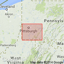
Named for Clarion, Clarion Co., western PA. Occurs in Fayette and Westmoreland Cos. Consists of sandstone. Thickness is 35 ft. Lies 10 ft below Clarion coal and 30 ft above Brookville coal. [Age is Pennsylvanian.]
Source: GNU records (USGS DDS-6; Reston GNULEX).
- Usage in publication:
-
- Clarion sandstone
- Modifications:
-
- Revised
- AAPG geologic province:
-
- Appalachian basin
Summary:
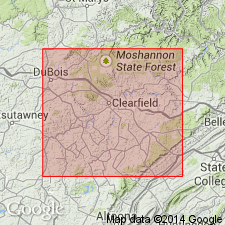
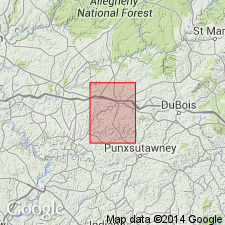
In Clearfield Co., at some localities, Clarion sandstone occupies whole interval between Kittanning Lower coal down to Brookville coal. Consists of a thin sandstone; resembles Homewood sandstone but is often massive and conglomeratic and in some places a true conglomerate, more commonly a rather friable yellowish sandstone.
Source: GNU records (USGS DDS-6; Reston GNULEX).
- Usage in publication:
-
- Clarion sandstone
- Modifications:
-
- Revised
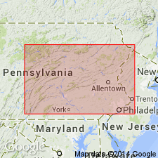
- Areal extent
- AAPG geologic province:
-
- Appalachian basin
Summary:
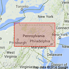
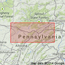
Pl. 6. Applied Clarion sandstone to a sandstone overlying the Clarion coal in contrast to Stevenson, 1878] in Pennsylvania, West Virginia, and Maryland, and did not apply any name to the sandstone beneath the Clarion coal.
Source: US geologic names lexicon (USGS Bull. 896, p. 451).
- Usage in publication:
-
- Clarion formation
- Modifications:
-
- Revised
- AAPG geologic province:
-
- Appalachian basin
Summary:
In PA, Clarion formation of Allegheny group includes (ascending) Brookville or A coal, Clarion sandstone, Clarion or "A" coal, and Vanport limestone. Overlies Homewood formation; underlies Kittanning formation.
Source: GNU records (USGS DDS-6; Reston GNULEX).
- Usage in publication:
-
- Clarion formation
- Modifications:
-
- Revised
- AAPG geologic province:
-
- Appalachian basin
Summary:
Clarion formation is lowest formation in Allegheny group. Includes strata from base of Lower Kittanning clay to base of clay beneath Brookville coal. Includes (ascending) Brookville coal, Clarion sandstone, Clarion clay, Lower Clarion coal, Upper Clarion coal, Vanport limestone, Lower Kittanning sandstone. Thickness is 120 to 145 ft. Overlies Homewood sandstone of Pottsville series. Strata called Clarion sandstone within Clarion formation is 5 to 35 ft thick and is not always present (in which case, the horizon is shale or sandy shale). In some areas, cuts out part or all of Brookville coal.
Source: GNU records (USGS DDS-6; Reston GNULEX).
- Usage in publication:
-
- Clarion sandstone
- Modifications:
-
- Revised
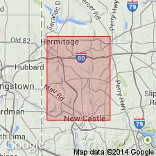
- Areal extent
- AAPG geologic province:
-
- Appalachian basin
Summary:
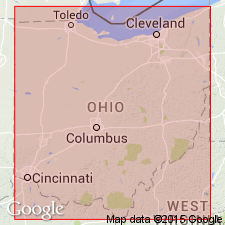
A generalized section of OH shows Clarion sandstone below Canary ore and above Winters coal.
Source: GNU records (USGS DDS-6; Reston GNULEX).
- Usage in publication:
-
- Clarion sandstone
- Modifications:
-
- Revised
- Areal extent
- AAPG geologic province:
-
- Appalachian basin
Summary:
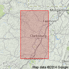
Clarion sandstone listed with recognizable members of Allegheny formation in Harrison Co., WV. Occurs above Clarion coal and below Vanport limestone.
Source: GNU records (USGS DDS-6; Reston GNULEX).
- Usage in publication:
-
- Clarion formation
- Modifications:
-
- Revised
- Reference
- AAPG geologic province:
-
- Appalachian basin
Summary:
Clarion formation of Allegheny series, which overlies the Pottsville, is 65 to 90 ft thick and consists of cyclic sequences of clay, coal, shale, siltstone, silty shale, and sandstone. Includes (ascending) Brookville coal, Clarion sandstone, Clarion coal, Vanport limestone, and Kittanning sandstone. Underlies Kittanning formation. Reference sections designated. Authors note that stratigraphic nomenclature of the Clarion is more confused and uncertain than that of other formations in Allegheny series. This is due partly to inherent complexity of the formation, partly to rather loose definition and description of type sections, and partly to questionable correlations between type sections.
Source: GNU records (USGS DDS-6; Reston GNULEX).
- Usage in publication:
-
- Clarion formation
- Modifications:
-
- Revised
- AAPG geologic province:
-
- Appalachian basin
Summary:
Clarion formation includes (ascending) Clarion coals, Clarion sandstone, Vanport limestone, and Lower Kittanning sandstone. Overlies Mercer formation, which includes Homewood sandstone and shale at its top; underlies Kittanning formation, which has Lower Kittanning coal in its lower part.
Source: GNU records (USGS DDS-6; Reston GNULEX).
- Usage in publication:
-
- Clarion Formation*
- Modifications:
-
- Revised
- AAPG geologic province:
-
- Appalachian basin
Summary:
Upper and Lower Clarion clays abandoned. Clarion Formation used for report area.
Source: GNU records (USGS DDS-6; Reston GNULEX).
- Usage in publication:
-
- Clarion Shale
- Modifications:
-
- Revised
- AAPG geologic province:
-
- Appalachian basin
Summary:
Used as Clarion Shale.
Source: GNU records (USGS DDS-6; Reston GNULEX).
- Usage in publication:
-
- Clarion Formation
- Modifications:
-
- Age modified
- AAPG geologic province:
-
- Appalachian basin
Summary:
Used as Clarion Formation of Allegheny Group. [First usage of Middle Pennsylvanian age.]
Source: GNU records (USGS DDS-6; Reston GNULEX).

- Usage in publication:
-
- Clarion Formation*
- Modifications:
-
- Revised
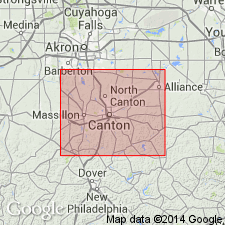
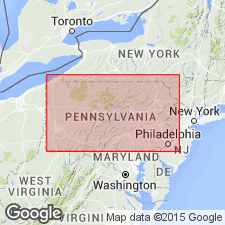
- Areal extent
- AAPG geologic province:
-
- Appalachian basin
Summary:
Use of the name Clarion Formation is restricted to PA, where it is lowest formation of Allegheny Group.
Source: GNU records (USGS DDS-6; Reston GNULEX).
For more information, please contact Nancy Stamm, Geologic Names Committee Secretary.
Asterisk (*) indicates published by U.S. Geological Survey authors.
"No current usage" (†) implies that a name has been abandoned or has fallen into disuse. Former usage and, if known, replacement name given in parentheses ( ).
Slash (/) indicates name conflicts with nomenclatural guidelines (CSN, 1933; ACSN, 1961, 1970; NACSN, 1983, 2005, 2021). May be explained within brackets ([ ]).