

- Usage in publication:
-
- City Creek limestone*
- Modifications:
-
- Named
- Dominant lithology:
-
- Limestone
- AAPG geologic province:
-
- Wasatch uplift
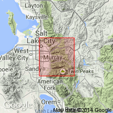
Summary:
Named "temporarily" for City Creek Canyon, Salt Lake Co, UT on Wasatch uplift. Name applied to 160 ft of fossiliferous gray shaly limestone as a field term. No type locality designated. The limestone is medium to thick bedded and weathers mottled olive tan. Overlies Swan Peak? quartzite. Underlies an unnamed Mississippian dolomite. Assigned a Late Devonian age. Is similar in lithology and fauna to Pinyon Peak limestone of the Tintic district. Geologic map.
Source: GNU records (USGS DDS-6; Denver GNULEX).
For more information, please contact Nancy Stamm, Geologic Names Committee Secretary.
Asterisk (*) indicates published by U.S. Geological Survey authors.
"No current usage" (†) implies that a name has been abandoned or has fallen into disuse. Former usage and, if known, replacement name given in parentheses ( ).
Slash (/) indicates name conflicts with nomenclatural guidelines (CSN, 1933; ACSN, 1961, 1970; NACSN, 1983, 2005, 2021). May be explained within brackets ([ ]).