- Usage in publication:
-
- Cienega Peak granite
- Modifications:
-
- Named
- Dominant lithology:
-
- Granite
- AAPG geologic province:
-
- Pedregosa basin
Summary:
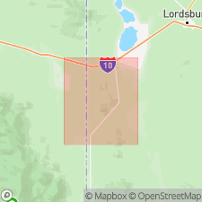
Forms Cienega Peak, western side of Peloncillo Mountains, in T25S, R21W, Hidalgo Co, NM in Pedregosa basin. Intent to name stated, but no type locality designated. Is very resistant to erosion forming rugged steep slopes. Is a holocrystalline, equigranular, fine-grained, light-pink granite with hypidiomorphic texture. Composed of 20-30 percent anhedral quartz, 60-70 percent subhedral and anhedral orthoclase and 10 percent or less anhedral oligoclase. Intrudes Chiricahua limestone and McGhee Peak formation. Forms a sill or laccolith which lenses out north of Cienega Peak. Is presumed to be Cretaceous, but it may be Tertiary. Geologic map included.
Source: GNU records (USGS DDS-6; Denver GNULEX).
For more information, please contact Nancy Stamm, Geologic Names Committee Secretary.
Asterisk (*) indicates published by U.S. Geological Survey authors.
"No current usage" (†) implies that a name has been abandoned or has fallen into disuse. Former usage and, if known, replacement name given in parentheses ( ).
Slash (/) indicates name conflicts with nomenclatural guidelines (CSN, 1933; ACSN, 1961, 1970; NACSN, 1983, 2005, 2021). May be explained within brackets ([ ]).

