- Usage in publication:
-
- Chuniksak Formation*
- Modifications:
-
- Named
- Reference
- Dominant lithology:
-
- Shale
- Argillite
- Sandstone
- Graywacke
- AAPG geologic province:
-
- Aleutian Islands province
- Alaska Southwestern region
Summary:
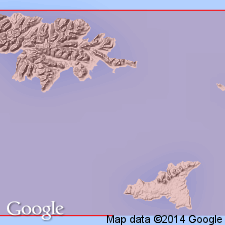
Named for exposures at type locality at Chuniksak Point between Nevidiskov Creek and Abraham Bay, south central Attu Island, Near Islands, AK. Reference section is exposures on west side of Nevidiskov Creek valley. Composed of fossiliferous, fine grained, laminated marine sedimentary rocks, principally siliceous shale, argillite, limy argillite, chert, siliceous siltstone, sandy shale, graywacke, and a little pebble conglomerate. Thickness is greater than 600 m. Conformably and gradationally overlies Nevidiskov Formation (new). Age is Miocene(?).
Source: GNU records (USGS DDS-6; Menlo GNULEX).
For more information, please contact Nancy Stamm, Geologic Names Committee Secretary.
Asterisk (*) indicates published by U.S. Geological Survey authors.
"No current usage" (†) implies that a name has been abandoned or has fallen into disuse. Former usage and, if known, replacement name given in parentheses ( ).
Slash (/) indicates name conflicts with nomenclatural guidelines (CSN, 1933; ACSN, 1961, 1970; NACSN, 1983, 2005, 2021). May be explained within brackets ([ ]).

