- Usage in publication:
-
- Chota formation*
- Modifications:
-
- Original reference
- Dominant lithology:
-
- Sandstone
- Calcarenite
- AAPG geologic province:
-
- Appalachian basin
Summary:
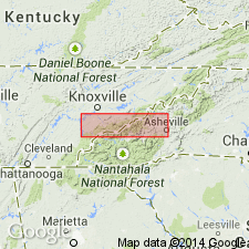
Pg. 141, 145 (chart), 157-160, pls, 27, 28. Chota formation. Name applied to a unit which is formed dominantly of gray quartzose calcarenite, 550 to 900 feet thick, and which is underlain by Tellico formation and overlain by Sevier formation. Formation is thinnest in northeast part of homocline; thickens to northeast to 650 feet, 3 miles southwest of its truncation by Guess Creek fault; at type locality 900 feet. This is same unit as "sandstone lentil of the Sevier formation" of Keith (1895, 1896) and Holston formation of Rodgers (1953) as mapped in this area. Age is Middle Ordovician.
Type locality: near Chota School, on TN Highway 72, Vonore quadrangle, Monroe Co., eastern TN.
Source: US geologic names lexicon (USGS Bull. 1200, p. 790).

- Usage in publication:
-
- Chota Formation
- Modifications:
-
- Revised
- Areal extent
- AAPG geologic province:
-
- Appalachian basin
Summary:
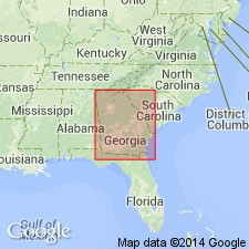
Chota Formation assigned to Chickamauga Group on GA State map.
Source: GNU records (USGS DDS-6; Reston GNULEX).

- Usage in publication:
-
- Chota Formation*
- Modifications:
-
- Areal extent
- AAPG geologic province:
-
- Appalachian basin
Summary:
The Chota Formation is mapped in northern GA where it overlies the Athens Shale or Rockmart Slate.
Source: GNU records (USGS DDS-6; Reston GNULEX).
For more information, please contact Nancy Stamm, Geologic Names Committee Secretary.
Asterisk (*) indicates published by U.S. Geological Survey authors.
"No current usage" (†) implies that a name has been abandoned or has fallen into disuse. Former usage and, if known, replacement name given in parentheses ( ).
Slash (/) indicates name conflicts with nomenclatural guidelines (CSN, 1933; ACSN, 1961, 1970; NACSN, 1983, 2005, 2021). May be explained within brackets ([ ]).

