

- Usage in publication:
-
- Upper Chickasawhay member
- Lower Chickasawhay member
- Modifications:
-
- Original reference
- Dominant lithology:
-
- Marl
- Clay
- Limestone
- AAPG geologic province:
-
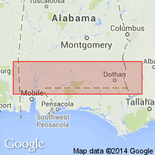
- Mid-Gulf Coast basin
Summary:
Charts; p. 3, 4, 12, 16-19, etc. Upper Chickasawhay member of Catahoula group; Lower Chickasawhay member of Catahoula group. Overlying Bucatunna member of Catahoula group there occurs throughout Wayne County, southeastern Mississippi, in Smith and Jasper Counties, southeastern Mississippi, and in Washington and Clarke Counties, southwestern Alabama, a series of marine beds which heretofore has been considered in published literature to be of Oligocene Byram marl age. Detailed study of these beds and their faunas has been made, and the name Chickasawhay has been applied to this Miocene group. The Upper Chickasawhay member of Catahoula group consists of 25 feet of fossiliferous claystones, marls, and blue clays, and the conformably underlying Lower Chickasawhay member consists of 30 feet of fossiliferous gray chalky marls, limestones, and clays.
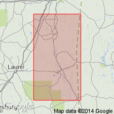
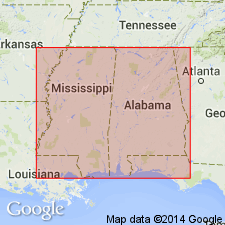
Type section of Upper Chickasawhay member is in sec. 10-8 N.-7 W., Wayne Co., southeastern MS, on west bank of Chickasawhay River at locality CX. Type section of Lower Chickasawhay member is at locality LC, on highway no. 45, 3 mi. north of Waynesboro, Wayne Co., southeastern MS.
Source: US geologic names lexicon (USGS Bull. 896, p. 426).
- Usage in publication:
-
- Chickasawhay marl member*
- Modifications:
-
- Revised
- AAPG geologic province:
-
- Mid-Gulf Coast basin
Summary:
Chickasawhay marl and Bucatunna clay of Blanpied [and others, 1934] are accepted as members of Byram marl (of Vicksburg group, Oligocene), in which formation the beds thus designated have heretofore always been included. [Age is middle Oligocene.]
Source: US geologic names lexicon (USGS Bull. 896, p. 426).
- Usage in publication:
-
- Chickasawhay formation
- Modifications:
-
- Revised
- Age modified
- AAPG geologic province:
-
- Mid-Gulf Coast basin
Blanpied, B.N., and Hazzard, R.T., 1938, [Title unknown] [abs.]: American Association of Petroleum Geologists, 23rd annual meeting, p. 11.
Summary:
Chickasawhay formation included in Limestone Creek group. Overlies Bucatunna formation. Age is Miocene.
Source: US geologic names lexicon (USGS Bull. 1200, p. 761-762).
- Usage in publication:
-
- Chickasawhay marl
- Modifications:
-
- Revised
- Age modified
- AAPG geologic province:
-
- Mid-Gulf Coast basin
Cooke, C.W., 1939, Boundary between Oligocene and Miocene: American Association of Petroleum Geologists Bulletin, v. 23, no. 10, p. 1560-1561.
Summary:
Chickasawhay marl of Vicksburg group. Lower Chickasawhay beds are equivalent of Flint River formation of Alabama, Georgia, and Florida and of Suwannee limestone of Flordia. Considered to be of Vicksburg age. Oligocene-Miocene boundary discussed. Age is Oligocene.
Source: US geologic names lexicon (USGS Bull. 1200, p. 761-762).
- Usage in publication:
-
- Chickasawhay limestone*
- Modifications:
-
- Revised
- AAPG geologic province:
-
- Mid-Gulf Coast basin
Summary:
Pg. 1314, 1315 (fig. 1), 1346-1349. Chickasawhay limestone. [Removed from Vicksburg group.] As herein defined is Lower Chickasawhay of Shreveport Geol. Soc. Gdbk [Blanpied and others, 1934]; the Upper Chickasawhay is renamed Paynes Hammock sand. Overlies Bucatunna clay member of Byram formation. Thickness about 15 to 20 feet. Believed that too many names are in use for equivalents of Chickasawhay limestone in southeast. Name Chickasawhay limestone could replace Flint River formation and unless Suwannee is emended to include the Byram, it could replace that name as well. Age is late Oligocene.
Source: US geologic names lexicon (USGS Bull. 1200, p. 761-762).
- Usage in publication:
-
- Chickasawhay limestone
- Chickasawhay formation
- Modifications:
-
- Biostratigraphic dating
- AAPG geologic province:
-
- Mid-Gulf Coast basin
Summary:
Pg. 2 (table 1), 4. Chickasawhay limestone of Mississippi and Alabama has yielded echinoids GAGARIA CHICKASAWHAY, ARBIA ALDRICHI, ECHINOLAMPUS ALDRICHI, and probably LOVENIA ALABAMENSIS, whose age is open to question. Age is late Oligocene.
Source: Publication; US geologic names lexicon (USGS Bull. 1200, p. 761-762).
- Usage in publication:
-
- Chickasawhay Limestone
- Modifications:
-
- Overview
- AAPG geologic province:
-
- Mid-Gulf Coast basin
Summary:
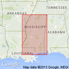
Chickasawhay Limestone has been recognized as far east as southeastern Covington Co., AL. Unit in Conecuh Co. consists of 40 ft of dark-yellowish-gray to pale-yellowish-orange fossiliferous, locally dolomitic, glauconitic and sandy limestone and yellowish-gray to light-gray clay. In Escambia Co., the unit occurs in the subsurface and consists of 10 to 70 ft of brown to gray dolomitic, sandy fossiliferous limestone interbedded with dark-blue to greenish-gray sandy, silty clay. Disconformably underlies the Paynes Hammock Sand; overlies the Bucatunna Member of the Byram Formation in AL or the Bucatunna Clay in MS. Measured sections from Baldwin Co., AL, and Clarke and Wayne Cos, MS, show unit as early and late Oligocene.
Source: GNU records (USGS DDS-6; Reston GNULEX).
- Usage in publication:
-
- Chickasawhay Limestone
- Modifications:
-
- Overview
- AAPG geologic province:
-
- Mid-Gulf Coast basin
Summary:
Chickasawhay Limestone. Unconformably overlies Bucatunna Formation or Waynesboro Sand (both of Vicksburg Group); underlies Paynes Hammock Formation. Correlative with lower part of Frio Formation of downdip (south) area. Age is early Oligocene (late Rupelian; early Chickasawhay Provincial Age); nannofossil zones NP23 to NP24, planktic foram zone P21 (GR. OPIMA OPIMA zone).
Source: Publication.
For more information, please contact Nancy Stamm, Geologic Names Committee Secretary.
Asterisk (*) indicates published by U.S. Geological Survey authors.
"No current usage" (†) implies that a name has been abandoned or has fallen into disuse. Former usage and, if known, replacement name given in parentheses ( ).
Slash (/) indicates name conflicts with nomenclatural guidelines (CSN, 1933; ACSN, 1961, 1970; NACSN, 1983, 2005, 2021). May be explained within brackets ([ ]).