


- Usage in publication:
-
- Chengwatana Volcanic Group*
- Modifications:
-
- Overview
- AAPG geologic province:
-
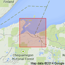
- Lake Superior region
Summary:
Present south of Lake Superior in east-central MN and adjoining parts of WI in Lake Superior region. Is a normally polarized eruptive unit consisting of basalt and lacking rocks of intermediate chemical composition. Stratigraphic position uncertain (faulted or covered) except near Mellen, WI where it directly overlies conglomerate of Davis Hill that in turn, caps Powder Mill Group sequence. Conformably overlain by Oronto Group in WI and Solar [Solor] Church Formation in MN. Correlation charts and simplified geologic map. Is considered Middle Proterozoic in age.
Source: GNU records (USGS DDS-6; Reston GNULEX).
- Usage in publication:
-
- Chengwatana Volcanics*
- Modifications:
-
- Revised
- AAPG geologic province:
-
- Wisconsin arch
Summary:
Revised as Chengwatana Volcanics [because previous usage of Chengwatana Volcanic Group is a violation of North American Stratigraphic Code].
Source: GNU records (USGS DDS-6; Reston GNULEX).
For more information, please contact Nancy Stamm, Geologic Names Committee Secretary.
Asterisk (*) indicates published by U.S. Geological Survey authors.
"No current usage" (†) implies that a name has been abandoned or has fallen into disuse. Former usage and, if known, replacement name given in parentheses ( ).
Slash (/) indicates name conflicts with nomenclatural guidelines (CSN, 1933; ACSN, 1961, 1970; NACSN, 1983, 2005, 2021). May be explained within brackets ([ ]).