

- Usage in publication:
-
- Cedar Keys formation
- Modifications:
-
- Named
- Dominant lithology:
-
- Limestone
- AAPG geologic province:
-
- South GA-North FL sedimentary province
Summary:
Term Cedar Keys formation is designed to cover rocks encountered in wells in peninsular and northern FL, from first appearance of BORELIS fauna to top of Upper Cretaceous. Thickness 570 ft in Hilliard Turpentine Co. well (W-336) and 566 ft in Cedar Keys No. 2 (W-355). Author states although Foraminifera are found in the upper part of the formation, the lower part is nearly devoid of fossils. Age is early Paleocene.
Source: GNU records (USGS DDS-6; Reston GNULEX).
- Usage in publication:
-
- Cedar Keys formation
- Modifications:
-
- Revised
- AAPG geologic province:
-
- Florida platform
Summary:
Revised to include interval extending from top of BORELIS fauna, or top of characteristic lithology, to top of the Cretaceous, which, in Levy Co., is upper Lawson limestone. Applin and Applin (1944) applied name to a similar interval and with this usage, formation is much more uniform in its occurrence and thickness. Florida Geological Survey has accepted new definition but retains original name.
Source: GNU records (USGS DDS-6; Reston GNULEX).
- Usage in publication:
-
- Cedar Keys Formation
- Modifications:
-
- Overview
- Dominant lithology:
-
- Dolomite
- Limestone
- Anhydrite
- AAPG geologic province:
-
- Florida platform
Summary:
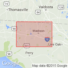
Cedar Keys contains three lithologic units. Lower unit is cream to tan, pelloidal, skeletal dolomite; middle unit is dolomitic limestone with some anhydrite; upper unit is predominantly gray, chalky, anhedral dolomite. Unit increases in thickness from less than 300 ft in Madison Co., northern FL, to 2,000 ft in southern FL. Unit unconformably overlies the Lawson Formation (Late Cretaceous) and unconformably underlies the Oldsmar Limestone (early to middle Eocene). Age of the Cedar Keys is early Paleocene.
Source: GNU records (USGS DDS-6; Reston GNULEX).
- Usage in publication:
-
- Cedar Keys Formation
- Modifications:
-
- Areal extent
- AAPG geologic province:
-
- Florida platform
Summary:
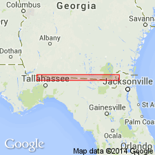
Cedar Keys Formation and its correlative, the upper part of the Rebecca Shoal Dolomite, are present throughout the FL peninsula except in Taylor and Madison Cos. Unit is identified by the appearance of a gray to dark gray anhedral or cryptocrystalline lithographic dolomite, in contrast to the brown anhedral dolomite of the overlying Black Point Format. [Format is defined as an informal rock-stratigraphic unit bounded by marker horizons believed to be isochronous surfaces that can be traced across facies changes. Author has included the interval between the top of the Cedar Keys and the base of the Hawthorn Group in his Black Point Format.] Bedded anhydrite is never present at the top of the Cedar Keys, but in the south-central part of the peninsula, it occurs 30 to 50 ft below the top. Elsewhere anhydrite occurs much lower in the section.
Source: GNU records (USGS DDS-6; Reston GNULEX).

- Usage in publication:
-
- Cedar Keys Formation
- Modifications:
-
- Principal reference
- Revised
- AAPG geologic province:
-
- Florida platform
Summary:
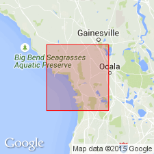
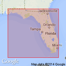
The Cedar Keys Formation is present throughout the FL peninsula, southeastern GA and in the offshore South Florida basin. The base of the lowermost thick dolomite bed is designated the base of the Cedar Keys in this study. Author formally proposes the Florida Oil Development No. 2 Scholtz Land well, drilled in 1939 and originally known as the Cedar Keys No. 2, in Sec 9-T15S-R13E, Levy Co., as the type well. The type interval is designated at 1856 ft to 2490 ft. A Co-type well was designated by Winston (1977) as the Coastal 1 Ragland, P 66, 16-15S-13E, in Levy Co. Co-type interval is 1805 to 2540 ft, the base having been revised from 2450 ft. Formation is divided into descending units A through F.BORELIS GUNTERI and B. FLORIDANA, recovered from Units B and C indicate a Paleocene age. Upper part of E is correlative with the upper Lawson Formation, which was dated by Applin and Applin (1944) as Navarroan. Units A through D, then, appear to be Paleocene in age, while E and F are Late Cretaceous. The Cedar Keys conformably underlies the Oldsmar Formation or the equivalent newly named Delray Dolomite, basal units of the Black Point Format, which includes the carbonate interval between the top of the Cedar Keys and the base of the Hawthorn. Conformably overlies the Pine Key Formation.
Source: GNU records (USGS DDS-6; Reston GNULEX).
For more information, please contact Nancy Stamm, Geologic Names Committee Secretary.
Asterisk (*) indicates published by U.S. Geological Survey authors.
"No current usage" (†) implies that a name has been abandoned or has fallen into disuse. Former usage and, if known, replacement name given in parentheses ( ).
Slash (/) indicates name conflicts with nomenclatural guidelines (CSN, 1933; ACSN, 1961, 1970; NACSN, 1983, 2005, 2021). May be explained within brackets ([ ]).