The National Geologic Map Database is migrating to a new infrastructure. We apologize for any service disruptions during this process.
|
|---|


- Usage in publication:
-
- Cedar Hill Andesite
- Modifications:
-
- Named
- Dominant lithology:
-
- Andesite
- AAPG geologic province:
-
- Pedregosa basin
Summary:
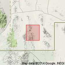
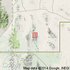
Named for Cedar Hill, sec 12, T31S, R18W, Walnut Wells quad, Hidalgo Co, NM in Pedregosa basin, where is well exposed. No type locality designated. Crops out from Cedar Hill westward along Cowboy Rim to head of Gillespie Creek and along western part of Animas Mountains near mouths of Thigpen and Cottonwood Creeks. Also exposed around base of Gilespie Mountain and on hills north and northwest of Young Ranch. Rests with apparent conformity on Basin Creek Tuff (new), but in some localities contact is disconformable. Is overlain conformably by Gillespie Tuff (new) in most places, and disconformably by Young Ranch Tuff (new). Thins northward from 300 ft to pinch-out along Cowboy Rim. Andesite tuff breccia zone about 20 ft thick lies at base in most places. Andesite flow is typically green or red and commonly has green and red color bands. Is very dense, well indurated, lacks gas cavities and planar structure; no foreign inclusions. Black and green glass zone 15+ ft thick at top above a vesicular zone. Flow weathers rusty red, and forms rounded, gently dipping slopes. Locally soft andesite tuff is interbedded with the flows. Along faults is brecciated and locally silicified. Is Tertiary in age.
Source: GNU records (USGS DDS-6; Denver GNULEX).
- Usage in publication:
-
- Cedar Hill Andesite
- Modifications:
-
- Age modified
- AAPG geologic province:
-
- Pedregosa basin
Summary:
Age modified from Tertiary to Oligocene on basis of position within a sequence of volcanic rocks that have been dated as Oligocene. Mapped (geologic map) in northern part of area, Pedregosa basin.
Source: GNU records (USGS DDS-6; Denver GNULEX).
For more information, please contact Nancy Stamm, Geologic Names Committee Secretary.
Asterisk (*) indicates published by U.S. Geological Survey authors.
"No current usage" (†) implies that a name has been abandoned or has fallen into disuse. Former usage and, if known, replacement name given in parentheses ( ).
Slash (/) indicates name conflicts with nomenclatural guidelines (CSN, 1933; ACSN, 1961, 1970; NACSN, 1983, 2005, 2021). May be explained within brackets ([ ]).