- Usage in publication:
-
- Carwood formation
- Modifications:
-
- Named
- Dominant lithology:
-
- Siltstone
- AAPG geologic province:
-
- Cincinnati arch
Summary:
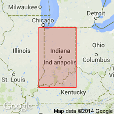
Above Locust Point formation in Floyd Co. is a unit about 115 ft thick, slightly coarser in texture, more massive in structure, and that weathers less readily to a shaly appearance. Elsewhere in southern IN thickness reaches 275 ft and in Jefferson Co., KY, 210 ft. It has commonly been referred to as a sandstone, but in reality is more properly designated a sandy siltstone in Floyd Co. Contains a few small geodes and concretions and locally a fauna of large brachiopods; in some places many bryozoans. In part this formation is the Holtsclaw sandstone of Butts. A number of factors make it advisable to propose a different name. The term Carwood formation is proposed in this report from village of Carwood in Clark Co., southeastern IN. Underlies Floyds Knob formation. The following geographic names are applied to several local facies within the formation: Bennettsville, Knob Creek, Evans Landing, Delaneys Creek, Sparksville, Gent, Fleener, and Kelly Hill. These facies vary from argillaceous shale and shaly siltstone to a bedded succession of thin, resistant sandstone beds and shaly layers. Also includes Finley Knob shale and Lampkins sandstone members. Age is Mississippian. [See also Stockdale (1931: GSA Bull., v. 42, p. 709.)
Source: GNU records (USGS DDS-6; Reston GNULEX).

- Usage in publication:
-
- Carwood Formation
- Modifications:
-
- Overview
- AAPG geologic province:
-
- Cincinnati arch
Summary:
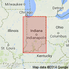
Carwood Formation of Borden Group includes eight named facies and two members. The members are Finley Knob Shale Member and Lampkins Sandstone Member.
Source: GNU records (USGS DDS-6; Reston GNULEX).

- Usage in publication:
-
- Carwood Formation†
- Modifications:
-
- Abandoned
- AAPG geologic province:
-
- Cincinnati arch
Summary:
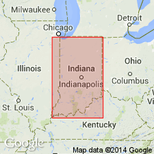
The Locust Point and Carwood Formations of the Borden Group do not have a recognizable mutual boundary that consistently separates them outside their type areas, and they cannot be separately mapped. Together they represent parts of a depositional event that resulted in a single mappable unit, here named the Spickert Knob Formation of the Borden Group; the names Locust Point and Carwood are abandoned.
Source: GNU records (USGS DDS-6; Reston GNULEX).

- Usage in publication:
-
- Carwood
- Modifications:
-
- Not used
- AAPG geologic province:
-
- Cincinnati arch
Summary:
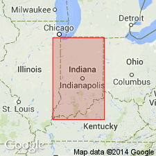
Carwood and Locust Point Formations not used. Spickert Knob Formation of Rexroad and Lane (1984) used in place of earlier units.
Source: GNU records (USGS DDS-6; Reston GNULEX).
For more information, please contact Nancy Stamm, Geologic Names Committee Secretary.
Asterisk (*) indicates published by U.S. Geological Survey authors.
"No current usage" (†) implies that a name has been abandoned or has fallen into disuse. Former usage and, if known, replacement name given in parentheses ( ).
Slash (/) indicates name conflicts with nomenclatural guidelines (CSN, 1933; ACSN, 1961, 1970; NACSN, 1983, 2005, 2021). May be explained within brackets ([ ]).

