- Usage in publication:
-
- Carrabassett Formation
- Modifications:
-
- Revised
- AAPG geologic province:
-
- New England province
Summary:
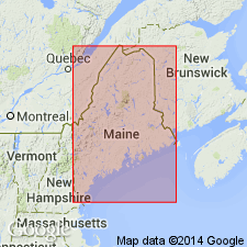
Carrabassett Formation is here assigned to Seboomook Group, which is raised in rank. Rocks at Boucot's (1961) type section of the Seboomook are designated Northeast Carry Formation, uppermost unit of the Seboomook. Also included in the Seboomook Group are Hildreths Formation, Ironbound Mountain Formation (of Marvinney, in prep), and Day Mountain, Temple Stream, and Mount Blue Formations, all raised in rank.
Source: GNU records (USGS DDS-6; Reston GNULEX).

- Usage in publication:
-
- Carrabassett Formation*
- Modifications:
-
- Revised
- Overview
- AAPG geologic province:
-
- New England province
Summary:
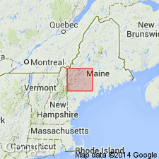
Divisible into lower shale member, gray, massive, 1,100 m thick; upper member of thinly layered gray shale and white sandstone about 250 m thick. Overlies Madrid Formation conformably and gradationally; underlies Hildreths Formation. Correlated with fossiliferous Littleton Formation of Early Devonian age. Equivalent to Solon Formation (Pankiwskyj and others, 1976), a term abandoned.
Source: GNU records (USGS DDS-6; Reston GNULEX).

- Usage in publication:
-
- Carrabassett Formation
- Modifications:
-
- Overview
- AAPG geologic province:
-
- New England province
Summary:
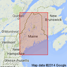
Carrabassett Formation exposed in a northeast-trending belt that includes portions of the western limb of the Kearsarge-central Maine synclinorium and the eastern flank of the Piscataquis magmatic belt. Generally assigned to the Lower Devonian, based on poor fossil control and stratigraphic position. Youngest widespread pre-Acadian unit in the low-grade sector of the Kearsarge-central Maine synclinorium. Thickness impossible to measure accurately. Estimated at 2,000 m in Jo-Mary Mountain quad. Lithofacies of unit discussed in detail including Facies B (arenaceous), C (arenaceous-pelitic), D and E (pelitic-arenaceous), F (chaotic), H (uniformly graded), L and M (massive and laminated pelitic). Chaotic and thin-bedded turbidite facies assemblages interpreted as interchannel slope deposits. Thick-bedded, thinning-upward turbidite assemblages are channel deposits. Highly disrupted chaotic facies and associated laminated pelite facies were deposited in lower slope, slope-basin, and base of slope settings. Underlying Madrid Formation deposited in trench environment.
Source: GNU records (USGS DDS-6; Reston GNULEX).

- Usage in publication:
-
- Carrabassett Formation*
- Modifications:
-
- Overview
- AAPG geologic province:
-
- New England province
Summary:
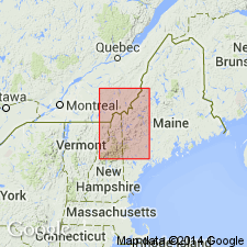
Follows usage of Pollock (1987) who assigns the Carrabassett to the Seboomook Group. Occurs in the Little Bigelow Mountain 15-min quad in the central Maine trough where it is separable in most places into an upper member of thinly interbedded metasandstone and gray pelitic schist (in about equal amounts), and a lower member of dark-gray, massive to faintly graded pelitic schist with local zones of cyclically interbedded pelitic schist and graded metasiltstone and sandstone. Neither the upper or lower members are separately mapped. An impure quartzite member (metasandstone and subordinate pelitic schist) and a black shale member (pelitic schist and subordinate metasiltstone or metasandstone) are separately mapped. In areas of migmatitic gneiss, Carrabassett and underlying Madrid Formation are not easily separated; some rocks mapped as Carrabassett contain abundant remnants of Madrid. Age is Early Devonian.
Source: GNU records (USGS DDS-6; Reston GNULEX).
For more information, please contact Nancy Stamm, Geologic Names Committee Secretary.
Asterisk (*) indicates published by U.S. Geological Survey authors.
"No current usage" (†) implies that a name has been abandoned or has fallen into disuse. Former usage and, if known, replacement name given in parentheses ( ).
Slash (/) indicates name conflicts with nomenclatural guidelines (CSN, 1933; ACSN, 1961, 1970; NACSN, 1983, 2005, 2021). May be explained within brackets ([ ]).

