- Usage in publication:
-
- Canville limestone
- Modifications:
-
- Original reference
- Dominant lithology:
-
- Limestone
- Shale
- AAPG geologic province:
-
- Cherokee basin
Summary:
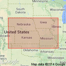
Pg. 99, 102, 103. See also J.M. Jewett, 1933 (Kansas Acad. Sci. Trans., v. 36, p. 131-136). Canville limestone is proposed for limestone next above Galesburg shale and below Stark shale. Been traced by writer from T. 18 S. to T. 29 S. Generally about 3 feet thick, bluish gray, fossiliferous. In southern part of its outcrop it sets off the sandstone and sandy shale (Dodds Creek sandstone) of underlying Galesburg shale from overlying black platy Stark shale, and in northern part it separates the yellow shale, the Galesburg, from the black Stark shale. In northern part of Linn County it is represented by very calcareous shale less than 1 foot thick. Its horizon is known at Kansas City by the plane between Galesburg and Stark shales, which are easily recognized by the color and fossils. Age is Pennsylvanian. Report includes cross section.
Named from Canville Creek, Neosho Co., KS. R.C. Moore, 1936 (Kansas Geol. Survey Bull., no. 22), stated that Jewett is author of this name.
Source: US geologic names lexicon (USGS Bull. 896, p. 338); supplemental information from GNU records (USGS DDS-6; Denver GNULEX).
- Usage in publication:
-
- Canville
- Modifications:
-
- Overview
Summary:
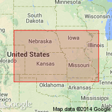
Canville limestone member of Dennis formation of Bronson group. Age is Late Pennsylvanian (Missouri age). [See under Dennis formation.]
Source: US geologic names lexicon (USGS Bull. 896, p. 338); GNC KS-NE Pennsylvanian Corr. Chart, sheet 2, Oct. 1936.
- Usage in publication:
-
- Canville limestone member
- Modifications:
-
- Revised
- AAPG geologic province:
-
- Cherokee basin
Summary:
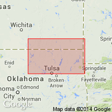
Pg. 40, 42. Canville limestone member of Dennis limestone. Rank reduced to member status in Dennis limestone.
Source: US geologic names lexicon (USGS Bull. 1200, p. 615).
- Usage in publication:
-
- [Canville limestone member]
- Modifications:
-
- Revised
- AAPG geologic province:
-
- Cherokee basin
Summary:
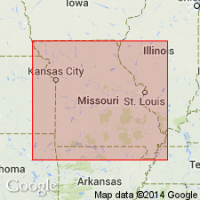
Pg. 11-12. Galesburg formation redefined to exclude Canville limestone and Stark shale formerly included in it by the Missouri Geol. Survey.
Source: US geologic names lexicon (USGS Bull. 1200, p. 615).
- Usage in publication:
-
- Canville limestone member
- Modifications:
-
- Overview
- AAPG geologic province:
-
- Cherokee basin
Summary:
Pg. 68 (fig. 14), 90-91. Canville limestone member of Dennis formation. Underlies Stark shale; overlies Galesburg formation. This is classification agreed upon by State Geological Surveys of Iowa, Kansas, Missouri, Nebraska, and Oklahoma. In Kansas, locally, a single layer about 1 foot thick; where thickness is greater, up to maximum of 3 feet, two or three beds may occur; member thins southward from type region. Age is Late Pennsylvanian (Missourian).
Source: US geologic names lexicon (USGS Bull. 1200, p. 615).
- Usage in publication:
-
- Canville limestone member
- Modifications:
-
- Revised
- AAPG geologic province:
-
- Cherokee basin
Summary:
Pg. 59, 60, 61; 1940 [abs.] Tulsa Geol. Soc. Digest, v. 9, p. 51. Present locally in northeastern Oklahoma where it is basal member of Hogshooter formation.
Source: US geologic names lexicon (USGS Bull. 1200, p. 615).
- Usage in publication:
-
- Canville member
- Modifications:
-
- Overview
- AAPG geologic province:
-
- Iowa shelf
Summary:
Pg. 418 (fig. 1), 421. In measured section near Winterset, Madison County [Iowa], Canville member of Dennis formation is a bluish-gray, discontinuous nodular band about 8 inches thick.
Source: US geologic names lexicon (USGS Bull. 1200, p. 615).
For more information, please contact Nancy Stamm, Geologic Names Committee Secretary.
Asterisk (*) indicates published by U.S. Geological Survey authors.
"No current usage" (†) implies that a name has been abandoned or has fallen into disuse. Former usage and, if known, replacement name given in parentheses ( ).
Slash (/) indicates name conflicts with nomenclatural guidelines (CSN, 1933; ACSN, 1961, 1970; NACSN, 1983, 2005, 2021). May be explained within brackets ([ ]).

