The National Geologic Map Database is migrating to a new infrastructure. We apologize for any service disruptions during this process.
|
|---|


- Usage in publication:
-
- Canepatch Formation*
- Modifications:
-
- Original reference
- Dominant lithology:
-
- Sand
- Clay
- Silt
- AAPG geologic province:
-
- Atlantic Coast basin
Summary:
Pg. 151 (fig. 4), 164-166. Canepatch Formation. Primarily sand, clay, silt, and peat. Thickness up to 75 feet; averages 30 feet. Includes parts of Pamlico and Talbot as mapped by Cooke (1936) and Doering (1960). Unconformably overlies the Bear Bluff or Waccamaw Formation; unconformably underlies the Socastee Formation. Forms surface of Jaluco-Cainhoy and Conway barrier systems. Interpreted to represent a marginal marine environment. Fossils listed. Age is middle Pleistocene.
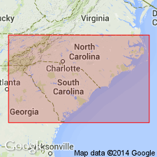
Type section: loc. WA-20, south bank of Intracoastal Waterway near Canepatch Swamp, 6.5 mi (10.4 km) northeast of Myrtle Beach, Horry Co., northeastern SC. Extends into NC.
Source: Publication; US geologic names lexicon (USGS Bull. 1520, p. 49).
- Usage in publication:
-
- Canepatch Formation
- Modifications:
-
- Areal extent
- AAPG geologic province:
-
- Atlantic Coast basin
Summary:
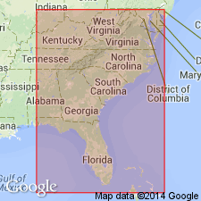
Middle Pleistocene Canepatch Formation lies seaward of the Penholoway Formation. It is restricted in outcrop to central and southern SC. Unit has been extensively eroded. In NC and northern SC, the Canepatch is restricted to the subsurface. The Socastee Formation lies seaward of the Canepatch. Outcrops of the Canepatch are referred to as Q4 or Talbot Formation by McCartan and others (1984) and Colquhoun (1986).
Source: GNU records (USGS DDS-6; Reston GNULEX).
For more information, please contact Nancy Stamm, Geologic Names Committee Secretary.
Asterisk (*) indicates published by U.S. Geological Survey authors.
"No current usage" (†) implies that a name has been abandoned or has fallen into disuse. Former usage and, if known, replacement name given in parentheses ( ).
Slash (/) indicates name conflicts with nomenclatural guidelines (CSN, 1933; ACSN, 1961, 1970; NACSN, 1983, 2005, 2021). May be explained within brackets ([ ]).