The National Geologic Map Database is migrating to a new infrastructure. We apologize for any service disruptions during this process.
|
|---|


- Usage in publication:
-
- Cane Run Bed*
- Modifications:
-
- Original reference
- Dominant lithology:
-
- Limestone
- AAPG geologic province:
-
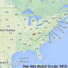
- Cincinnati arch
Summary:
Pg. C20. Cane Run Bed of Grier Limestone Member of Lexington Limestone. A bed of argillaceous micro-grained limestone as much as 5 feet thick at or near top of the Grier. Base of bed is from 15 to 25 feet below base of Brannon Member. Age is Middle Ordovician.
Type section: in Pemberton quarry on east side of U.S. Highway 25, 0.9 mi north of Linlee School, Lexington West 7.5-min quadrangle, Fayette Co., central KY. Bed extends past pinchout edge of the Brannon into northern Fayette and southern Scott and Bourbon Cos. Named from Cane Run in north-central Fayette Co., central KY.
Source: US geologic names lexicon (USGS Bull. 1350, p. 116).
For more information, please contact Nancy Stamm, Geologic Names Committee Secretary.
Asterisk (*) indicates published by U.S. Geological Survey authors.
"No current usage" (†) implies that a name has been abandoned or has fallen into disuse. Former usage and, if known, replacement name given in parentheses ( ).
Slash (/) indicates name conflicts with nomenclatural guidelines (CSN, 1933; ACSN, 1961, 1970; NACSN, 1983, 2005, 2021). May be explained within brackets ([ ]).