The National Geologic Map Database is migrating to a new infrastructure. We apologize for any service disruptions during this process.
|
|---|


- Usage in publication:
-
- California Creek Member*
- Modifications:
-
- Named
- Dominant lithology:
-
- Schist
- AAPG geologic province:
-
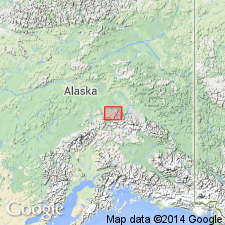
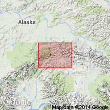
- Alaska East-Central region
Summary:
Named as second from lowest member (of 5) of Totatlanika Schist. Type locality designated as exposures at California Creek, Fairbanks A-4 quad, AK. Shown on generalized logic map of part of central Alaska range. Member comprises all schist exposed at type locality of Totatlanika Schist in lower canyon of Totatlanika River. Composed of white- to buff-weathering gray quartz-orthoclase-schist and gneiss which occurs in a coarse- and medium-grained faces; two facies are commonly in sharp contact parallel to foliation. Contains some thin layers of black carbonaceous schist and slate. Is at least 900 m thick. Overlies Moose Creek Member (new) (Totatlanika Schist). Underlies and interfingers Chute Creek Member (new) (Totatlanika Schist). Age is Mississippian(?).
Source: GNU records (USGS DDS-6; Menlo GNULEX).
- Usage in publication:
-
- California Creek Member*
- AAPG geologic province:
-
- Alaska East-Central region
Summary:
Age for Totatlanika Schist is modified from Mississippian(?) to: Middle Devonian to Early Mississippian. [Age of California Creek Member is not addressed].
Source: GNU records (USGS DDS-6; Menlo GNULEX).
For more information, please contact Nancy Stamm, Geologic Names Committee Secretary.
Asterisk (*) indicates published by U.S. Geological Survey authors.
"No current usage" (†) implies that a name has been abandoned or has fallen into disuse. Former usage and, if known, replacement name given in parentheses ( ).
Slash (/) indicates name conflicts with nomenclatural guidelines (CSN, 1933; ACSN, 1961, 1970; NACSN, 1983, 2005, 2021). May be explained within brackets ([ ]).