- Usage in publication:
-
- Butterfield Peaks limestone members
- Modifications:
-
- [First used]
- Dominant lithology:
-
- Limestone
- AAPG geologic province:
-
- Wasatch uplift
- Great Basin province
Summary:
Pg. 2 (table 1). Butterfield Peaks limestone members of White Pine formation listed on table of Pennsylvanian and Permian units within Oquirrh Mountains. Present at base of the White Pine formation above Maple formation. [Units and names described herein are those used by Kennecott Copper Corp. geologists within Bingham mining district. They are not intended as formal names unless they are applicable. Report includes cross section.]
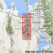
[Type locality not stated. Occurs in] Bingham district, Oquirrh Mountains, Salt Lake Co., northern UT. [Derivation of name not stated.]
[Type section (of White Pine Formation): in sec. 22, T. 4 S., R. 3 W., Salt Lake Co., UT. Crops out on slopes of Butterfield Peaks and is well exposed around Long Ridge anticline in southern Oquirrh Mountains and in North Oquirrh thrust block in northern Oquirrh Mountains, Salt Lake Co. and adjoining Tooele Co., UT (Welsh and James, 1961).]
Source: US geologic names lexicon (USGS Bull. 1350, p. 107, 825).
For more information, please contact Nancy Stamm, Geologic Names Committee Secretary.
Asterisk (*) indicates published by U.S. Geological Survey authors.
"No current usage" (†) implies that a name has been abandoned or has fallen into disuse. Former usage and, if known, replacement name given in parentheses ( ).
Slash (/) indicates name conflicts with nomenclatural guidelines (CSN, 1933; ACSN, 1961, 1970; NACSN, 1983, 2005, 2021). May be explained within brackets ([ ]).

