

- Usage in publication:
-
- Burke formation*
- Modifications:
-
- Original reference
- Dominant lithology:
-
- Sandstone
- Shale
- AAPG geologic province:
-
- Northern Rocky Mountain region
Summary:
Pg. 277-285. Burke formation of Ravalli Group. Gray, flaggy, fine-grained sandstones and shales, with interbedded purple quartzitic sandstones and white quartzite. Shallow-water features throughout. Thickness 1,700+/- feet. Underlies Revett quartzite and overlies Prichard slate. Typically developed along Canyon Creek from Burke to Gem, Idaho, also in vicinity of Wardner and elsewhere in Coeur d'Alene district, [Shoshone County], northeastern Idaho. [Extends into northwestern Montana.] Age is pre-Cambrian (Belt).
[Description of general geology of region is based almost wholly on work of F.C. Calkins.]
Source: US geologic names lexicon (USGS Bull. 896, p. 297).
- Usage in publication:
-
- Burke formation*
- Modifications:
-
- Mapped
- Dominant lithology:
-
- Sandstone
- Shale
- AAPG geologic province:
-
- Northern Rocky Mountain region
Summary:
Pg. 32-34, pl. 11. Burke formation. Light-gray flaggy fine-grained sandstones and shales, mostly greenish, with variable amount of purple quartzitic sandstone and white quartzite. Shallow water features throughout. Thickness about 2,000 feet. Overlies Prichard slate; underlies Revett quartzite. [Age is Precambrian (Belt).]
Source: US geologic names lexicon (USGS Bull. 1200, p. 539).

- Usage in publication:
-
- Burke Formation*
- Modifications:
-
- Areal extent
- AAPG geologic province:
-
- Northern Rocky Mountain region
Summary:
Burke Formation of Ravalli Group of Belt Supergroup. Age is Precambrian Y.
Identified west of the Rocky Mountain Trench probably in MT and WA in the Northern Rocky Mountain region as basal formation of Precambrian Ravalli Group of Belt Supergroup. See figs 4, 5, 7, and 13 for correlation with other formations in the Belt Supergroup of the U.S., Northern Rocky Mountain region, and in Purcell Supergroup in Alberta and British Columbia, Canada.
Source: GNU records (USGS DDS-6; Denver GNULEX).
- Usage in publication:
-
- Burke Formation*
- Modifications:
-
- Age modified
- AAPG geologic province:
-
- Northern Rocky Mountain region
Summary:
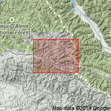
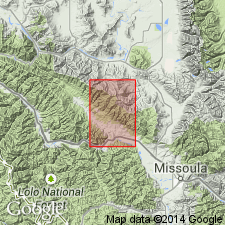
Is one of eleven formations of the Belt Supergroup mapped in the report area. Age changed from Precambrian to Precambrian Y, the age term used for rocks that range in age from 1,600 to 800 m.y. old. Is about 7,500 ft thick. Mapped in two parts. Lower part in contact with Prichard Formation of Belt over a transition zone 200 ft thick in which green argillites are interbedded with green and white argillites. Lower part characterized by green argillite and siltite. Upper part is predominately gray consisting of interbedded argillite and siltite. Overlain by Revett Formation of Belt; upper contact placed at base of lowermost vitreous white quartzite of Revett. Mapped in central and northwest parts of quad in Sanders and Missoula Cos, MT in the Northern Rocky Mountain region.
Source: GNU records (USGS DDS-6; Denver GNULEX).
For more information, please contact Nancy Stamm, Geologic Names Committee Secretary.
Asterisk (*) indicates published by U.S. Geological Survey authors.
"No current usage" (†) implies that a name has been abandoned or has fallen into disuse. Former usage and, if known, replacement name given in parentheses ( ).
Slash (/) indicates name conflicts with nomenclatural guidelines (CSN, 1933; ACSN, 1961, 1970; NACSN, 1983, 2005, 2021). May be explained within brackets ([ ]).