

- Usage in publication:
-
- Bunger formation
- Modifications:
-
- Original reference
- Dominant lithology:
-
- Sandstone
- Shale
- Limestone
- AAPG geologic province:
-
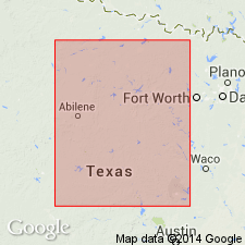
- Bend arch
Summary:
Pg. 133-145. Bunger formation in Cisco [group]. Poorly bedded, lenticular, dark-brown sandstones and sandy shales with a few thin limestones. Locally, in section west of Finis, a dark carbonaceous shale occurs near bottom of formation. Thickness 230+/- feet. Top member is named Bunger limestone. Underlies Gunsight formation and overlies Jacksboro formation. [Age is Pennsylvanian.]
[Named from Bunger, Young Co., Brazos River region, central northern TX.]
Source: US geologic names lexicon (USGS Bull. 896, p. 294).

- Usage in publication:
-
- Bunger formation†
- Modifications:
-
- Abandoned
- AAPG geologic province:
-
- Bend arch
Summary:
†Bunger formation [of Plummer, 1919] is part of Graham formation, adopted name.
Source: US geologic names lexicon (USGS Bull. 896, p. 294).
For more information, please contact Nancy Stamm, Geologic Names Committee Secretary.
Asterisk (*) indicates published by U.S. Geological Survey authors.
"No current usage" (†) implies that a name has been abandoned or has fallen into disuse. Former usage and, if known, replacement name given in parentheses ( ).
Slash (/) indicates name conflicts with nomenclatural guidelines (CSN, 1933; ACSN, 1961, 1970; NACSN, 1983, 2005, 2021). May be explained within brackets ([ ]).