- Usage in publication:
-
- Budd Road Bed
- Modifications:
-
- First used
- Dominant lithology:
-
- Limestone
- AAPG geologic province:
-
- Appalachian basin
Summary:
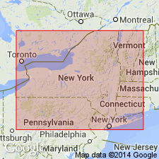
Budd Road Bed is a minor phosphatic limestone bed above the top of the Maplewood Shale. Merges with the Densmore Creek bed as the Maplewood pinches out. Demarcates the base of the second 5th order cycle which continues through the Brewer Dock Member of the Reynales Formation. At Lockport Junction Road Cut, the Budd Road underlies the Hickory Corners Limestone (Reynales Formation). Here it is a thin (3 to 5 cm) pyritic, sandy limestone packed with black phosphatic pebbles and shell fragments. This bed is overlain by 40 cm of alternating greenish gray shales and thin limestones, capped by 60 cm of nodular crinoidal pack- and wackestone.
Source: GNU records (USGS DDS-6; Reston GNULEX).

- Usage in publication:
-
- Budd Road Bed
- Modifications:
-
- Named
- Dominant lithology:
-
- Limestone
- AAPG geologic province:
-
- Appalachian basin
Summary:
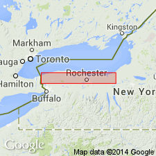
Budd Road Bed is herein named for exposures at Budd Road near the hamlet of Hickory Corners, Niagara Co., western NY. Consists of 1.0 to 6.0 cm of silty limestone with very small phosphatic nodules and granules. Extends at least from Glen Edith in Monroe Co. westward to the Niagara Gorge, but is best developed around Lockport. Bed forms the base of the Brewer Dock Member and the laterally equivalent Hickory Corners Member of the Reynales Limestone. Age is Silurian (Llandoverian).
Source: GNU records (USGS DDS-6; Reston GNULEX).

- Usage in publication:
-
- Budd Road Phosphate Bed*
- Modifications:
-
- Revised
- AAPG geologic province:
-
- Appalachian basin
Summary:
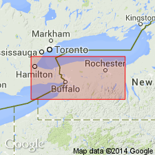
Revised the Budd Road to the Budd Road Phosphate Bed. Unit is the basal bed (above minor unconformity) of the Hickory Corners Member of the Reynales Limestone in western NY. Consists of phosphate pebbles (1/8 to 1/4 in. diameter) in a silty limestone matrix. Thickness is 1 to 4 in. Unconformably overlies the Neahga Shale and underlies the remainder of the Reynales Limestone. Well exposed along railroad tracks north of intersection with Niagara Road on the west side of Lockport, NY, and in Niagara Gorge south of Artpark, Lewiston, NY. Unit extends from Cambria westward to the Niagara River Gorge and eastward to the Rochester, NY area, beyond which it becomes hematitic and forms the lower part of the Furnaceville Member of the Reynales. The Budd Road is of Early Silurian (Llandoverian) age. [Report uses Early and Late Silurian time scale of Harland and others (1982).]
Source: GNU records (USGS DDS-6; Reston GNULEX).
For more information, please contact Nancy Stamm, Geologic Names Committee Secretary.
Asterisk (*) indicates published by U.S. Geological Survey authors.
"No current usage" (†) implies that a name has been abandoned or has fallen into disuse. Former usage and, if known, replacement name given in parentheses ( ).
Slash (/) indicates name conflicts with nomenclatural guidelines (CSN, 1933; ACSN, 1961, 1970; NACSN, 1983, 2005, 2021). May be explained within brackets ([ ]).

