

- Usage in publication:
-
- Browns Hole Formation*
- Modifications:
-
- Named
- Dominant lithology:
-
- Volcanics
- Quartzite
- AAPG geologic province:
-
- Northern Rocky Mountain region
Summary:
Pg. 592. Browns Bole Formation. Name proposed for 1 of 5 formations of Brigham Group in the Huntsville area, Weber County, northern Utah. Comprised of two unnamed members. The lower member consists of volcanics, predominantly gray, massive, fine-grained vesicular or amygdaloidal basalt; thickness 182 to 460 feet. The upper member is a terracotta-colored, fine- to medium-grained, cross-bedded quartzite; thickness 100 to 150 feet. Total thickness ranges from 282 to 610 feet. Has no lithologic counterparts in the Pocatello area, southeastern Idaho, or in the Beaver Mountains of south-central Utah. Overlies Mutual Formation and conformably underlies Geertsen Canyon Formation (new), both of Brigham Group. Age is late Precambrian (Precambrian Z). (Browns Hole Formation of Brigham Group adopted by the USGS.)
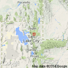
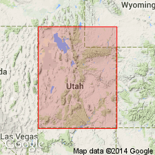
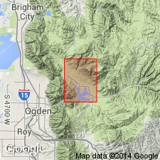
Type section: along Middle Fork of Ogden River on slopes northwest of Browns Hole, 11 km [approx. 7 mi] northeast of Huntsville, near center of sec. 14, T. 7 N., R. 2 E., Browns Hole quadrangle, Weber Co., UT (Northern Rocky Mountain region). Named from Browns Hole.
Source: GNU records (USGS DDS-6; Denver GNULEX, Menlo GNULEX); US geologic names lexicon (USGS Bull. 1520, p. 40); Changes in stratigraphic nomenclature, 1971 (USGS Bull. 1372-A, p. A4-A5).
- Usage in publication:
-
- Browns Hole Formation*
- Modifications:
-
- Geochronologic dating
- Age modified
- AAPG geologic province:
-
- Northern Rocky Mountain region
Summary:
Age modified from late Precambrian to Precambrian Z on basis of 570 +/-7 m.y. date obtained from hornblende using Ar40/ Ar39 method. Browns Canyon is one of five formations belonging to the Brigham Group. Formation is known in the Huntsville area in the Northern Rocky Mountain region. [Precambrian Z was accepted as the time between 800 and 570 m.y. in 1973.]
Source: GNU records (USGS DDS-6; Denver GNULEX).
- Usage in publication:
-
- Browns Hole Formation*
- Modifications:
-
- Age modified
- AAPG geologic province:
-
- Wasatch uplift
Summary:
Age of the Browns Hole Formation of the Brigham Group is Precambrian Z.
Source: GNU records (USGS DDS-6; Menlo GNULEX).
For more information, please contact Nancy Stamm, Geologic Names Committee Secretary.
Asterisk (*) indicates published by U.S. Geological Survey authors.
"No current usage" (†) implies that a name has been abandoned or has fallen into disuse. Former usage and, if known, replacement name given in parentheses ( ).
Slash (/) indicates name conflicts with nomenclatural guidelines (CSN, 1933; ACSN, 1961, 1970; NACSN, 1983, 2005, 2021). May be explained within brackets ([ ]).