

- Usage in publication:
-
- Bronco volcanics*
- Modifications:
-
- Named
- Dominant lithology:
-
- Andesite
- Quartz latite
- AAPG geologic province:
-
- Pedregosa basin
Summary:
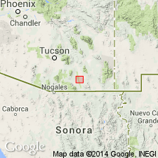
Named for Bronco Hill, T21S, R22E, Cochise Co, AZ in Pedregosa basin. Geologic map. 5,000 to 6,000 ft thick. Consists predominately of andesite flow breccias and flows in lower part and quartz latite flows and tuffs in the upper. The two rock types interfinger. Andesitic rocks constitute about two-thirds of the formation. Rests unconformably on Bisbee formation. Assigned to the Cretaceous or early Tertiary. Thought to be older than Uncle Sam porphyry.
Source: GNU records (USGS DDS-6; Denver GNULEX).
- Usage in publication:
-
- Bronco volcanics*
- Modifications:
-
- Principal reference
- AAPG geologic province:
-
- Pedregosa basin
Summary:
Pg. 8, 87-90, pl. 5. Bronco volcanics. Consists mainly of andesite in lower part and quartz latite tuff in upper part. At the base, locally has a conglomerate composed of quartzite (Bolsa), sandstone (Bisbee), and limestone (Paleozoic) boulders in an andesitic matrix. Probably 5,000 to 6,000 feet thick. Invaded, deformed, and altered by Uncle Sam porphyry, Schieffelin granodiorite, and andesite porphyry east-northeast of Bronco Hill. Conformably overlies Bisbee formation; underlies upper Tertiary and Quaternary strata. Paleogeographic considerations tend to favor an early Tertiary age assignment. Typical exposures designated. Report includes geologic map.
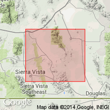
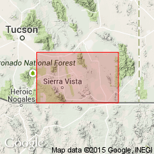
Typically exposed northeast and north of Bronco Hill, Tombstone area, central Cochise Co., southeastern AZ. Outcrop of formation in this area covers about 3.5 sq mi. Smaller bodies found in other parts of central Cochise Co.
Source: US geologic names lexicon (USGS Bull. 1200, p. 490); supplemental information from GNU records (USGS DDS-6; Denver GNULEX).
- Usage in publication:
-
- Bronco Volcanics*
- Modifications:
-
- Age modified
- AAPG geologic province:
-
- Pedregosa basin
Summary:
Correlated (correlation chart, fig. 2) with radiometrically dated formation of Salero of Santa Rita Mountains and thus assigned a Late Cretaceous age. Was considered to be Cretaceous or early Tertiary in previous reports. Is in Tombstone Hills and Mule Mountains, Pedregosa basin.
Source: GNU records (USGS DDS-6; Denver GNULEX).

- Usage in publication:
-
- Bronco Volcanics*
- Modifications:
-
- Overview
- AAPG geologic province:
-
- Pedregosa basin
Summary:
Is formation in Tombstone area, Cochise Co, AZ in Pedregosa basin. Unconformably overlies deformed strata of Bisbee Formation (Lower Cretaceous). Estimated thickness 5,000-6,000 ft (Following Gilluly, 1956). Is intruded by Schieffelin Granodiorite (K-Ar age 72 m.y. by Creasey and Kistler, 1962). Upper part is comparable in lithology to Sugarloaf Quartz Latite (Upper Cretaceous) and considered correlative with rhyolitic tuffs of Salero Formation (upper Campanian and lowest Maestrichtian, Upper Cretaceous). Is Late Cretaceous age on basis of stratigraphic position dating. [See fig. 5 for regional correlation.]
Source: GNU records (USGS DDS-6; Denver GNULEX).
For more information, please contact Nancy Stamm, Geologic Names Committee Secretary.
Asterisk (*) indicates published by U.S. Geological Survey authors.
"No current usage" (†) implies that a name has been abandoned or has fallen into disuse. Former usage and, if known, replacement name given in parentheses ( ).
Slash (/) indicates name conflicts with nomenclatural guidelines (CSN, 1933; ACSN, 1961, 1970; NACSN, 1983, 2005, 2021). May be explained within brackets ([ ]).