- Usage in publication:
-
- Broadwater formation
- Modifications:
-
- Named
- Dominant lithology:
-
- Gravel
- Sand
- Marl
- Peat
- AAPG geologic province:
-
- Denver basin
Summary:
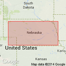
Is well exposed in Morrill and Garden Counties, Nebraska. Divided into a basal gravel member, 45+/- feet thick; Lisco member (new), an 8.9 feet thick unit of gray sand, peat, diatomaceous marl, gray sand and silt; and an upper gravel member that total 68+ feet thick. Deposited after the Ogallala formation and before middle Pleistocene deposits. Has yielded a large collection of early Pleistocene mammals, mostly from the Lisco member; mastodont, camel, llama, peccary, horse, sloth, gopher, giant beaver, sabertooth tiger, wolf, coyote, otter, etc. Contains loess-like silt, alluvial and colluvial deposits. Report includes measured section.
Type section measured in NE/4 sec. 20, T. 19 N., R. 47 W. Named from Broadwater, Morrill Co., NE [in the Denver basin].
Source: Modified from GNU records (USGS DDS-6; Denver GNULEX).

- Usage in publication:
-
- Broadwater Formation*
- Modifications:
-
- Overview
- AAPG geologic province:
-
- Chadron arch
Summary:
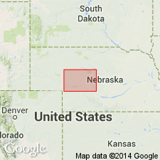
Is lower part of Pliocene "older alluvium" map unit in west-central Nebraska [Chadron arch]. Is equivalent in age to Broadwater Formation (Pliocene) of western Nebraska. [Age of Broadwater is Pliocene; attributed to C.A. Repenning (1987, IN M.O. Woodburne, ed., Cenozoic mammals of North America; p. 256-268).]
Source: Modified from GNU records (USGS DDS-6; Denver GNULEX).

- Usage in publication:
-
- Broadwater Formation*
- Modifications:
-
- Mapped 1:250k (Scottsbluff quad, NE)
- Dominant lithology:
-
- Gravel
- Sand
- Silt
- Clay
- Diatomite
- AAPG geologic province:
-
- Denver basin
- Chadron arch
Summary:
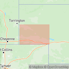
Mapped as Pliocene formation in western Nebraska [Denver basin and Chadron arch]. Unit described as fluvial pebble to cobble gravel and sand; locally includes minor silt, clay, and diatomite beds; is pale-yellow to grayish-orange. Divided into two informal units (not separately mapped, though separately described): upper unnamed unit and lower Remsburg Ranch beds of Swinehart and Diffendal (1987, GSA Centennial field guides, v. 3, p. 23-28). Exposed on north side of North Platte River Valley. Is youngest formal unit in quadrangle. Overlies Ogallala Group (upper and middle Miocene). Age is Pliocene based on vertebrate faunas described by C.A. Repenning (1987, IN M.O. Woodburne, ed., Cenozoic mammals of North America, p. 256-268). Composite thickness up to 300 feet.
Source: Modified from GNU records (USGS DDS-6; Denver GNULEX).
For more information, please contact Nancy Stamm, Geologic Names Committee Secretary.
Asterisk (*) indicates published by U.S. Geological Survey authors.
"No current usage" (†) implies that a name has been abandoned or has fallen into disuse. Former usage and, if known, replacement name given in parentheses ( ).
Slash (/) indicates name conflicts with nomenclatural guidelines (CSN, 1933; ACSN, 1961, 1970; NACSN, 1983, 2005, 2021). May be explained within brackets ([ ]).

