- Usage in publication:
-
- Brallier shale*
- Modifications:
-
- Named
- Dominant lithology:
-
- Shale
- AAPG geologic province:
-
- Appalachian basin
Summary:
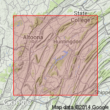
Brallier shale, upper formation of Portage group, here described in central PA (Bedford, Blair, Huntingdon, and Center Cos.) as fine-grained, siliceous shale, in thick, even layers, revealing fissility on weathering. Laminae largely wavy or dimpled; some even and slaty. Contains a few thin fine-grained sandstone layers. Thickness ranges from 1,350 to 1,800 ft. Underlies Chemung formation and overlies Harrell shale. Age is Late Devonian.
Source: GNU records (USGS DDS-6; Reston GNULEX).

- Usage in publication:
-
- Brallier Formation
- Modifications:
-
- Areal extent
- AAPG geologic province:
-
- Appalachian basin
Summary:
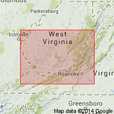
The Scherr Formation ends at the WV-VA boundary, between Dry Run and Rte 642, and passes laterally into the Brallier Formation of VA. This arbitrary cutoff is drawn where the Scherr becomes finer grained and the last sandstone disappears. The Minnehaha Springs Member is identifiable within the Brallier as far southwest as White Sulphur Springs.
Source: GNU records (USGS DDS-6; Reston GNULEX).

- Usage in publication:
-
- Brallier Formation
- Modifications:
-
- Revised
- AAPG geologic province:
-
- Appalachian basin
Summary:
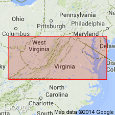
Two intervals of coarse siltstones within the Brallier Formation near Salem are believed to represent the Back Creek Siltstone and the Minnehaha Springs Members. The Minnehaha Springs marks the base of the Scherr Formation to the north. The Back Creek is 9 m thick in the area, while the Minnehaha Springs is 24 m. The Brallier is a total of 518 m. A 0.5-ft-thick dark-gray, argillaceous limestone just above the contact with the Millboro Shale may be the Tully Limestone. Underlies the Foreknobs Formation. Age of the Brallier is Late Devonian.
Source: GNU records (USGS DDS-6; Reston GNULEX).
For more information, please contact Nancy Stamm, Geologic Names Committee Secretary.
Asterisk (*) indicates published by U.S. Geological Survey authors.
"No current usage" (†) implies that a name has been abandoned or has fallen into disuse. Former usage and, if known, replacement name given in parentheses ( ).
Slash (/) indicates name conflicts with nomenclatural guidelines (CSN, 1933; ACSN, 1961, 1970; NACSN, 1983, 2005, 2021). May be explained within brackets ([ ]).

