

- Usage in publication:
-
- Bowman limestone*
- Modifications:
-
- Original reference
- Biostratigraphic dating
- Dominant lithology:
-
- Limestone
- AAPG geologic province:
-
- Great Basin province
Summary:
Bowman limestone. Mottled shaly limestones, intraformational conglomerate, and oolitic limestone, with shaly member, about 35 feet thick, at base. Thickness 280 feet. Grades into overlying Lynch dolomite, the boundary being arbitrarily drawn at base of lowest dolomite bed. Conformably overlies Hartmann limestone. Age is Middle Cambrian.
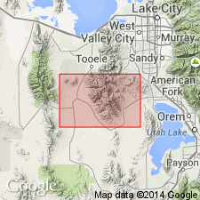
Named from exposures in Bowman Gulch, northwest of Ophir, [in NW/4 sec. 23, T. 5 S., R. 4 W., Ophir 7.5-min quadrangle], Tooele Co., Oquirrh Mountains region, central northern UT.
Source: US geologic names lexicon (USGS Bull. 896, p. 244).
For more information, please contact Nancy Stamm, Geologic Names Committee Secretary.
Asterisk (*) indicates published by U.S. Geological Survey authors.
"No current usage" (†) implies that a name has been abandoned or has fallen into disuse. Former usage and, if known, replacement name given in parentheses ( ).
Slash (/) indicates name conflicts with nomenclatural guidelines (CSN, 1933; ACSN, 1961, 1970; NACSN, 1983, 2005, 2021). May be explained within brackets ([ ]).