- Usage in publication:
-
- Bourbon group
- Modifications:
-
- Original reference
- Dominant lithology:
-
- Shale
- Sandstone
- Limestone
- AAPG geologic province:
-
- Cherokee basin
- Forest City basin
- Chautauqua platform
Summary:
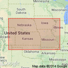
Pg. 99. Bourbon group. Contains at least one very persistent formation "Uniontown limestone," which is generally less than 1 foot thick, of dark, earthy limestone bearing bellerophontids and ammonites, and everywhere overlying black shale containing phosphatic concretions and ranging up to several feet in thickness. Has been traced from Linn County, Kansas, to vicinity of Delaware, Nowata County, Oklahoma, and is reported to be widespread in northeastern Missouri. Age is Pennsylvanian.
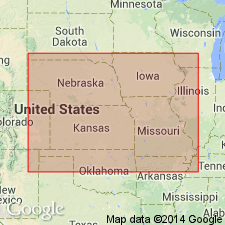
Named from Bourbon Co., eastern KS.
Source: US geologic names lexicon (USGS Bull. 896, p. 242-243).
- Usage in publication:
-
- Bourbon group
- Modifications:
-
- Original reference
Summary:
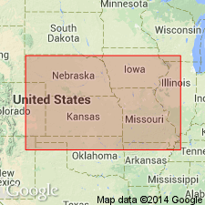
Pg. 90, 97. Bourbon group. Consists almost wholly of shale and sandstone, that lie beneath Swope formation and above the pre-Missouri series unconformity. Thus defined the group has thickness of 150+/- feet. Considerable field study is needed on these beds. At present they include (descending) Ladore shale, "Uniontown limestone," and unnamed shale and sandstone. The Ladore shale corresponds to that at Ladore type locality. Age is Late Pennsylvanian (Missouri age).
[Origin of names not stated.]
Source: US geologic names lexicon (USGS Bull. 896, p. 242-243); GNC KS-NE Pennsylvanian Corr. Chart, sheet 2, Oct. 1936.
- Usage in publication:
-
- Bourbon group
- Modifications:
-
- Revised
- AAPG geologic province:
-
- Cherokee basin
Summary:
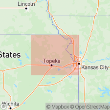
Bourbon group. Underlies Hertha limestone, rests unconformably on Lenapah limestone, and includes (descending): undifferentiated shale and limestone, "Uniontown" limestone, unnamed shale, and Warrensburg channel sandstone.
[This definition excludes Ladore and underlying limestone of 1932 definition.]
See also "Modern classifications of the Pennsylvanian rocks of eastern Kansas and southeastern Nebraska," compiled by M.G. Wilmarth, Secretary of Committee on Geologic Names, USGS unpub. corr. Chart, Oct. 1936, sheet 2.
Source: US geologic names lexicon (USGS Bull. 896, p. 242-243); GNC KS-NE Pennsylvanian Corr. Chart, sheet 2, Oct. 1936.
- Usage in publication:
-
- Bourbon formation
- Bourbon group
- Modifications:
-
- Revised
- AAPG geologic province:
-
- Forest City basin
Summary:
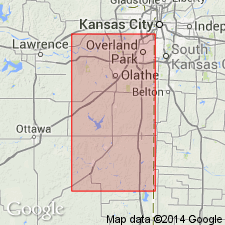
[Bourbon formation shown as basal formaiton of Bronson group on p. 19; as distinct from Bronson group on p. 21; and as Bourbon group on p. 20. The limestone separating Bourbon formation from overlying Ladore shale is here called Sniabar limestone member of Hertha limestone.]
Source: US geologic names lexicon (USGS Bull. 896, p. 242-243); GNC KS-NE Pennsylvanian Corr. Chart, sheet 2, Oct. 1936.

- Usage in publication:
-
- Bourbon formation
- Modifications:
-
- Revised
Summary:
Pg. 41. Bourbon formation, at base of Missouri series, includes the deposits, chiefly shale and sandstone, between post-Des Moines unconformity below and base of Hertha limestone above. Conformably underlies Bronson group. [On p. 73-75 are following statements:] Most of Bourbon formation consists of bluish gray and yellowish brown silty to sandy shale; locally at base there is thick, irregularly bedded or massive yellow-brown sandstone, and in places there are extensive sandstones in middle and upper parts. Prominent channel-sandstones belong to Bourbon throughout much of west Missouri. The Warrensburg and Moberly sandstones in central Missouri and several other channel sandstones in that State are in part certainly and in part questionably classed as belonging to Bourbon formation. Local deposits of conglomerate also belong to the Bourbon. The Critzer limestone occurs near top of formation, but for present recognition of the "Critzer" as a named member of the Bourbon is withheld; much additional study is needed. Thickness of formation probably 100+ in most places; in Kansas City region appears to be 150+ feet. Because lower boundary of formation is difficult to trace, except where fairly prominent sandstone occurs at base, it may be necessary in geologic mapping to combine the Bourbon with the disconformably underlying upper Des Moines shale, but this does not invalidate stratigraphic definition of Bourbon formation. Much detailed work remains to be done on this part of section.
See also "Modern classifications of the Pennsylvanian rocks of eastern Kansas and southeastern Nebraska," compiled by M.G. Wilmarth, Secretary of Committee on Geologic Names, USGS unpub. corr. chart, Oct. 1936, sheet 2.
Source: US geologic names lexicon (USGS Bull. 896, p. 242-243); GNC KS-NE Pennsylvanian Corr. Chart, sheet 2, Oct. 1936.
- Usage in publication:
-
- Bourbon formation
- Bourbon group
- Modifications:
-
- Not used
Summary:
Pg. 2028. Bourbon formation (Bourbon group). Suppressed in favor of Pleasonton group.
Source: US geologic names lexicon (USGS Bull. 1200, p. 441).
For more information, please contact Nancy Stamm, Geologic Names Committee Secretary.
Asterisk (*) indicates published by U.S. Geological Survey authors.
"No current usage" (†) implies that a name has been abandoned or has fallen into disuse. Former usage and, if known, replacement name given in parentheses ( ).
Slash (/) indicates name conflicts with nomenclatural guidelines (CSN, 1933; ACSN, 1961, 1970; NACSN, 1983, 2005, 2021). May be explained within brackets ([ ]).

