- Usage in publication:
-
- Bolivar fire clay
- Modifications:
-
- Named
- Dominant lithology:
-
- Clay
- AAPG geologic province:
-
- Appalachian basin
Summary:
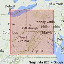
Where Upper Freeport limestone is absent or only slightly developed, there usually comes into the section at this horizon, a bed of excellent fire clay, which from having long been mined near Bolivar, Westmoreland Co., PA, is generally known as Bolivar clay.
Source: GNU records (USGS DDS-6; Reston GNULEX).
- Usage in publication:
-
- Bolivar fire clay
- Modifications:
-
- Revised
- AAPG geologic province:
-
- Appalachian basin
Summary:
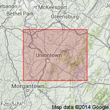
Bolivar fire clay included in Allegheny group in this report. In many older reports, name Bolivar fire clay has been so loosely used that much confusion has developed. Going back to original use of name, it is evident that Bolivar fire clay lies a considerable distance below Upper Freeport coal, whereas clay immediately under coal should be called Upper Freeport fire clay. Bolivar fire clay horizon lies 20 to 50 ft below Upper Freeport coal.
Source: GNU records (USGS DDS-6; Reston GNULEX).
- Usage in publication:
-
- Bolivar clay member
- Modifications:
-
- Revised
- AAPG geologic province:
-
- Appalachian basin
Summary:
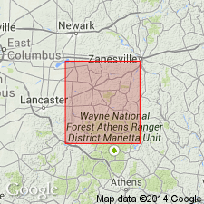
Bolivar clay member assigned to Bolivar cyclothem in this report. Average thickness 5.5 ft. Patchy distribution at most exposures. Overlain by Upper Freeport limestone. Locally sandstone lies above the clay. Bolivar coal not present above clay in any outcrop.
Source: GNU records (USGS DDS-6; Reston GNULEX).
- Usage in publication:
-
- Bolivar underclay member
- Modifications:
-
- Overview
- AAPG geologic province:
-
- Appalachian basin
Summary:
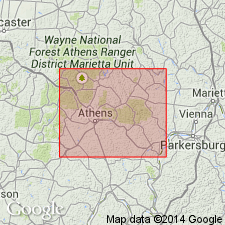
Usage as Bolivar underclay member of Bolivar cyclothem of Allegheny series in this report. Unit is about 4 ft thick in report area. In OH, the Ortons (1884: Ohio Geol. Survey, v. 5, Economic Geology) seem to have applied name Bolivar to this underclay, but White (1891) is credited later with establishing name in the literature. Bolivar underclay and overlying thin and seldom present Bolivar coal have been traced in discontinuous distribution across eastern OH. Occurs above Shawnee limestone.
Source: GNU records (USGS DDS-6; Reston GNULEX).
- Usage in publication:
-
- Bolivar clay
- Modifications:
-
- Overview
- AAPG geologic province:
-
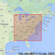
- Appalachian basin
Summary:
Informal usage only. Occurs in PA and OH in the upper part of Allegheny Formation beneath a thin coal a few feet below the Upper Freeport coal according to Wanless (1939).
Source: GNU records (USGS DDS-6; Reston GNULEX).
For more information, please contact Nancy Stamm, Geologic Names Committee Secretary.
Asterisk (*) indicates published by U.S. Geological Survey authors.
"No current usage" (†) implies that a name has been abandoned or has fallen into disuse. Former usage and, if known, replacement name given in parentheses ( ).
Slash (/) indicates name conflicts with nomenclatural guidelines (CSN, 1933; ACSN, 1961, 1970; NACSN, 1983, 2005, 2021). May be explained within brackets ([ ]).

