The National Geologic Map Database is migrating to a new infrastructure. We apologize for any service disruptions during this process.
|
|---|


- Usage in publication:
-
- Boggy shale*
- Modifications:
-
- Original reference
- Dominant lithology:
-
- Shale
- Sandstone
- AAPG geologic province:
-
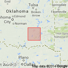
- Arkoma basin
Summary:
Pg. 438. Boggy shale. Alternating shales and sandstones, nearly 3,000 feet thick, overlying Savanna sandstone and underlying Thurman sandstone. Contains not less than 16 beds of sandstone, 20 to 150 feet thick, separated by shale beds 100 to 600 feet thick. Age is Pennsylvanian (Allegheny). Report includes geologic maps.
Named from exposures along North Boggy Creek, Pittsburg and Atoka Cos., OK.
[GNC remark (ca. 1938, US geologic names lexicon, USGS Bull. 896, p. 226): The base of Boggy shale in McAlester district is now drawn by the USGS at base of or 20+/- feet below Lower Witteville coal.]
Source: US geologic names lexicon (USGS Bull. 896, p. 226); supplemental information from GNU records (USGS DDS-6; Denver GNULEX).
- Usage in publication:
-
- Boggy shale*
- Modifications:
-
- Revised
- AAPG geologic province:
-
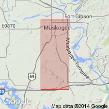
- Chautauqua platform
Summary:
Pg. 504, 510-511. Boggy shale. Only lower part of formation exposed in Muskogee County, Oklahoma. Includes (ascending) shale, Crekola sandstone member (new), shale, Inola limestone member, shale, Taft sandstone member (new); Secor or Upper Witteville coal occur in shale beds below the Crekola. Fossils. Thickness 172+ to 242+ feet. Conformably overlies Savanna sandstone. Rocks formerly included in Winslow formation. Age is Pennsylvanian. Report includes geologic map, columnar sections, measured sections.
[Misprint: US geologic names lexicon (USGS Bull. 1200, p. 411) lists Inola sandstone member. Should be Inola limestone member.]
Source: Publication; US geologic names lexicon (USGS Bull. 1200, p. 411); supplemental information from GNU records (USGS DDS-6; Denver GNULEX).
- Usage in publication:
-
- Boggy formation*
- Modifications:
-
- Revised
- AAPG geologic province:
-
- Chautauqua platform
Summary:
Pg. 51-57. Boggy formation. Includes Bluejacket sandstone member near base. Age is Middle Pennsylvanian (Des Moines).
Source: US geologic names lexicon (USGS Bull. 1200, p. 411).
- Usage in publication:
-
- Boggy formation*
- Modifications:
-
- Overview
- AAPG geologic province:
-
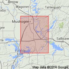
- Arkoma basin
Summary:
Pg. 54-62. Boggy formation. Maximum thickness more than 4,000 feet in Le Flore County, Oklahoma; top eroded. Age is Middle Pennsylvanian (Des Moines). Report includes geologic map, measured sections, nomenclature history.
Source: Publication; US geologic names lexicon (USGS Bull. 1200, p. 411).
- Usage in publication:
-
- Boggy formation
- Modifications:
-
- Overview
- AAPG geologic province:
-
- Arkoma basin
Summary:
Pg. 1523, 1524. Boggy formation. Uppermost formation in Krebs group (new). Overlies Savanna formation; underlies Thurman sandstone. Age is Middle Pennsylvanian (Des Moines).
Source: US geologic names lexicon (USGS Bull. 1200, p. 411).
- Usage in publication:
-
- Boggy formation*
- Modifications:
-
- Revised
- AAPG geologic province:
-
- Chautauqua platform
Summary:
[Pennsylvanian System by C.C. Branson, p. 63-68.] Pg. 68. Boggy formation of Krebs group. As defined by the Oklahoma Geol. Survey, comprises strata from base of Bluejacket sandstone member to unconformity at base of Cabaniss group. Age is Middle Pennsylvanian (Des Moines).
Source: Publication; US geologic names lexicon (USGS Bull. 1200, p. 411).
- Usage in publication:
-
- Boggy formation*
- Modifications:
-
- Areal extent
- AAPG geologic province:
-
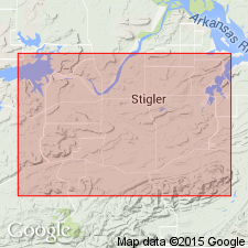
- Arkoma basin
- Chautauqua platform
Summary:
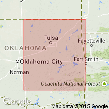
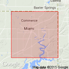
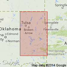
Pg. J333-335, pl. 16. Boggy formation of Krebs group. In Oklahoma, exposed in wide arcuate belt from southeastern Pontotoc County and central and northern Coal County through Pittsburg, Haskell, and McIntosh Counties to northwestern Muskogee County. From there it has been mapped northward to Kansas line. Large outliers remain in Sansbois syncline in Haskell and Latimer Counties, where more than 2,000 feet of formation is present, and in Cavanal syncline to LeFIore County, where as much as 3,000 feet of rocks to formation make up much of Cavanal Mountains. Complete continuous section in Pittsburg County is about 2,850 feet thick. Overlies Savanna formation; underlies Thurman sandstone. Includes Secor and Lower Witteville coal beds. Age is Middle Pennsylvanian (Des Moines).
Source: Publication; US geologic names lexicon (USGS Bull. 1200, p. 411).
For more information, please contact Nancy Stamm, Geologic Names Committee Secretary.
Asterisk (*) indicates published by U.S. Geological Survey authors.
"No current usage" (†) implies that a name has been abandoned or has fallen into disuse. Former usage and, if known, replacement name given in parentheses ( ).
Slash (/) indicates name conflicts with nomenclatural guidelines (CSN, 1933; ACSN, 1961, 1970; NACSN, 1983, 2005, 2021). May be explained within brackets ([ ]).