- Usage in publication:
-
- Boggs member
- Modifications:
-
- Named
- Dominant lithology:
-
- Limestone
- AAPG geologic province:
-
- Appalachian basin
Summary:
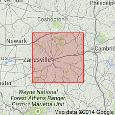
Boggs member of Pottsville formation is new name for hard dense, bluish gray, fossiliferous, rather siliceous, marine limestone for equivalent of Boggs iron ore of Scioto Co. In places also represented by flint. Thickness 1 to 3 feet. Lies 9 feet 4 inches below Flint Ridge coal and 0 to 5 feet above Lower Mercer or No. 3 coal in Muskingum Co., southeastern OH. Age is Pennsylvanian.
Source: GNU records (USGS DDS-6; Reston GNULEX).

- Usage in publication:
-
- Boggs member
- Modifications:
-
- Revised
- AAPG geologic province:
-
- Appalachian basin
Summary:
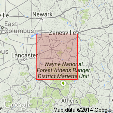
Boggs member included at top of Lower Mercer cyclothem in Perry Co., OH. Thickness about 1 foot. Overlies unnamed shale; underlies Flint Ridge shale and (or) sandstone.
Source: GNU records (USGS DDS-6; Reston GNULEX).

- Usage in publication:
-
- Boggs Limestone
- Modifications:
-
- Revised
- AAPG geologic province:
-
- Appalachian basin
Summary:
Boggs used in this report as unit of formation rank in Pottsville Group.
Source: GNU records (USGS DDS-6; Reston GNULEX).

- Usage in publication:
-
- Boggs limestone
- Modifications:
-
- Overview
- AAPG geologic province:
-
- Appalachian basin
Summary:
According to M.C. Hansen of the Ohio Geological Survey (oral commun., 1992), Boggs marine limestone has been renamed Blunt Run limestone for stream of same name that contains type section in Muskingum Co., OH. Limestone occurs in upper part of Pottsville Formation above Lower Mercer coal.
Source: GNU records (USGS DDS-6; Reston GNULEX).
For more information, please contact Nancy Stamm, Geologic Names Committee Secretary.
Asterisk (*) indicates published by U.S. Geological Survey authors.
"No current usage" (†) implies that a name has been abandoned or has fallen into disuse. Former usage and, if known, replacement name given in parentheses ( ).
Slash (/) indicates name conflicts with nomenclatural guidelines (CSN, 1933; ACSN, 1961, 1970; NACSN, 1983, 2005, 2021). May be explained within brackets ([ ]).

