The National Geologic Map Database is migrating to a new infrastructure. We apologize for any service disruptions during this process.
|
|---|


- Usage in publication:
-
- Bloyd shale*
- Modifications:
-
- Original reference
- Dominant lithology:
-
- Shale
- Limestone
- AAPG geologic province:
-
- Arkoma basin
Summary:
Bloyd shale, upper formation (of 2) of Morrow group. With exception of Brentwood and Kessler Iimestone lentils and a bed of coal consists almost entirely of thin, fissile, black, carbonaceous clay shale of uniform character, with locally small amount of sandstone in lower part. Brentwood Iimestone lentil lies 5 to 10 feet above base; Kessler Iimestone lentil lies usually 60 to 75 feet below top. Thickness 100 to 200 feet. Underlies [unconformably] Winslow formation and overlies Hale formation. Age is Pennsylvanian (Pottsville), based on fossils.
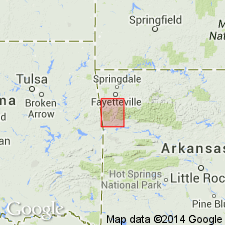
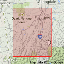
Named from Bloyd Mountain, 9 mi southwest of Fayetteville, Washington Co., northwestern AR.
Source: US geologic names lexicon (USGS Bull. 896, p. 216); supplemental information from GNU records (USGS DDS-6; Denver GNULEX).
- Usage in publication:
-
- Bloyd formation*
- Modifications:
-
- Areal extent
- AAPG geologic province:
-
- Arkoma basin
Summary:
Pg. 38-39, strat. sections. Bloyd formation. Formation geographically extended into northeastern Oklahoma, where it contains representatives of both the Brentwood and Kessler limestone lentils as recognized in Washington County, Arkansas. Thickness 191 feet at Arkansas-Oklahoma line; thins westward. Age is Pennsylvanian (Morrow).
Source: US geologic names lexicon (USGS Bull. 1200, p. 391).
- Usage in publication:
-
- Bloyd shale*
- Modifications:
-
- Revised
- AAPG geologic province:
-
- Arkoma basin
Summary:
Pg. 1942-1945, 1948 (fig. 2). Bloyd shale. Shale consists of (ascending) Brentwood limestone member, Woolsey member (new) composed of terrestrial sediments, and an unnamed shale division, which includes Kessler limestone lentil and which represents the upper half to two-thirds of formation. Overlies Prairie Grove member (new) of Hale formation; underlies Greenland sandstone member (new) of Atoka formation. Age is Pennsylvanian (Morrow).
Source: US geologic names lexicon (USGS Bull. 1200, p. 391).
- Usage in publication:
-
- Bloyd formation*
- Modifications:
-
- Areal extent
- Mapped
- AAPG geologic province:
-
- Arkoma basin
- Chautauqua platform
Summary:
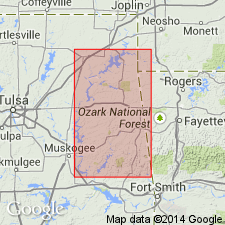
Pg. 80-82, strat. sections, pls. 4, 5. Bloyd formation. Formation described and mapped on south and west flanks of Ozark uplift. Traced around various outliers and fault blocks from Arkansas line westward to Arkansas River valley, northward to Mayes-Wagoner County line, where it is beveled by pre-Atoka erosion. A sequence of alternating shales and limestones; thin coal bed. Maximum thickness 225 feet in Stillwell area; 58 feet at Braggs Mountain. Conformable and gradational with underlying Hale; unconformable with overlying Atoka. Age is Pennsylvanian (Morrow).
Source: US geologic names lexicon (USGS Bull. 1200, p. 391).
- Usage in publication:
-
- Bloyd Formation*
- Bloyd Shale*
- Modifications:
-
- Age modified
Summary:
Pg. A4-A5, A54, A56-A57 (fig. 5). Age of (1) Bloyd Formation/Shale and (2) its three upper members (Dye Shale, Kessler Limestone, and Trace Creek Shale) changed from Early Pennsylvanian (Morrowan) to: (1) Early and Middle Pennsylvanian (Morrowan) and (2) Middle Pennsylvanian (Morrowan), respectively. Present in Arkansas and Oklahoma.
Source: Publication.
For more information, please contact Nancy Stamm, Geologic Names Committee Secretary.
Asterisk (*) indicates published by U.S. Geological Survey authors.
"No current usage" (†) implies that a name has been abandoned or has fallen into disuse. Former usage and, if known, replacement name given in parentheses ( ).
Slash (/) indicates name conflicts with nomenclatural guidelines (CSN, 1933; ACSN, 1961, 1970; NACSN, 1983, 2005, 2021). May be explained within brackets ([ ]).