

- Usage in publication:
-
- Birmingham shale
- Modifications:
-
- Named
- Dominant lithology:
-
- Shale
- AAPG geologic province:
-
- Appalachian basin
Summary:
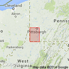
Birmingham shale (new) is here described as a dark thinly laminated shale nearly 50 feet thick that occurs below Morgantown sandstone at Pittsburgh. Joints pass through the mass. Outcrops at Birmingham Station (just west of Pittsburgh). Age is Pennsylvanian.
Source: GNU records (USGS DDS-6; Reston GNULEX).
- Usage in publication:
-
- Birmingham shale member*
- Modifications:
-
- Overview
- AAPG geologic province:
-
- Appalachian basin
Summary:
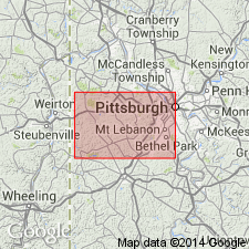
Birmingham shale member of Conemaugh formation overlies Berlin coal and extends up to Elk Lick coal (or Elk Lick clay where present). Consists of shale, sandy shale, and some sandstone. Thickness 50 to 60 ft in study area.
Source: GNU records (USGS DDS-6; Reston GNULEX).
- Usage in publication:
-
- Birmingham shale member
- Modifications:
-
- Areal extent
- Overview
- AAPG geologic province:
-
- Appalachian basin
Summary:
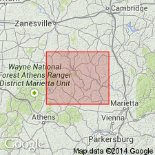
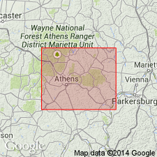
Birmingham shale member of Conemaugh series shown on geologic column of OH as interval between Skelly limestone member below and Elk Lick shale and limestone member above. Inasmuch as latter members are not present over much of OH, the Birmingham usually includes all strata between Skelly limestone and Morgantown sandstone. In many areas, thick sandstones occur throughout interval from Gaysport limestone, or Ames limestone, to top of Morgantown or even stratigraphically higher. In Morgan Co., where Skelley limestone is present, the Birmingham consists of 10 to 18 ft of variegated gray to chocolate-brown clay shale which is partly sandy and locally contains siderite nodules.
Source: GNU records (USGS DDS-6; Reston GNULEX).
- Usage in publication:
-
- Birmingham member
- Modifications:
-
- Revised
- AAPG geologic province:
-
- Appalachian basin
Summary:
Birmingham member assigned to Elk Lick cyclothem (new). Unit's stratigraphic position, broadly limited, is between Duquesne and Elk Lick coals, and it may coalesce with redbeds above and below to fill much of interval between Ames limestone and Pittsburgh coal. Johnson (1929: PA G.S., 4th ser., Topog. and Geol. Atlas 27) has shown that in type area there is facies relationship between redbed and (or) shale and sandstone and that in places sandstone largely or entirely replaces redbed lithology. Condit (1912: OH G.S., 4th ser., Bull. 17) reported that the Morgantown (Upper Grafton of present report) locally replaces Birmingham redbed in eastern OH. Thickness as much as 22.5 ft.
Source: GNU records (USGS DDS-6; Reston GNULEX).

- Usage in publication:
-
- Birmingham shale
- Modifications:
-
- Revised
- AAPG geologic province:
-
- Appalachian basin
Summary:
Birmingham shale described as unranked marine or brackish-water shale cropping out at Birmingham, Allegheny Co., PA. Occurs near middle of Conemaugh Formation between Elk Lick coal (above) and Skelley limestone in PA, OH, and WV.
Source: GNU records (USGS DDS-6; Reston GNULEX).
For more information, please contact Nancy Stamm, Geologic Names Committee Secretary.
Asterisk (*) indicates published by U.S. Geological Survey authors.
"No current usage" (†) implies that a name has been abandoned or has fallen into disuse. Former usage and, if known, replacement name given in parentheses ( ).
Slash (/) indicates name conflicts with nomenclatural guidelines (CSN, 1933; ACSN, 1961, 1970; NACSN, 1983, 2005, 2021). May be explained within brackets ([ ]).