The National Geologic Map Database is migrating to a new infrastructure. We apologize for any service disruptions during this process.
|
|---|


- Usage in publication:
-
- Big Stone Gap member
- Modifications:
-
- Original reference
- Dominant lithology:
-
- Shale
- AAPG geologic province:
-
- Appalachian basin
Summary:
Pg. 485-499. Big Stone Gap member of Chattanooga shale. The Big Stone Gap shale of Ulrich and Stose has been shown by direct and continuous tracing to be northward continuation of Chattanooga shale of type area. Such being the case, the term Big Stone Gap shale must be abandoned for prior term Chattanooga shale. Throughout whole area [Chattanooga, southern Tennessee, to southwestern Virginia] the Chattanooga shale [restricted] is divisible into 3 members: (1) an upper black shale member, to which the term Big Stone Gap is here restricted; (2) a middle gray shale member, here called Olinger member; and (3) a lower black shale member here designated Cumberland Gap member. The Big Stone Gap member is separated from underlying Olinger member by an unconformity, which is most marked in southeastern Tennessee and which may be absent in northeastern Tennessee and southwestern Virginia. The Big Stone Gap member extends continuously from Chattanooga area to Big Stone Gap and beyond. At Cameron Hill, Chattanooga, it is 3/8 inch thick; at Apison, 16 miles away, it is 2 feet 10.5 inches thick; from here to Lafollette it remains approximately 2 feet thick; between Lafollette and Cumberland Gap, on Virginia-Tennessee border, it jumps suddenly to 81 feet in thickness; at Big Stone Gap it is at least 96 feet 5 inches thick. Is overlain, with sharp contact, by the gray Glendale shale. [Age is Devonian or Carboniferous.]
See also Wilmarth, M.G., compiler, 1929, Tentative correlation of the named geologic units of Tennessee, USGS unpub. corr. chart, Aug., 1929, sheet 2 of 4, and Tentative correlation of the named geologic units of Virginia, USGS unpub. Corr. Chart, Apr., 1929, sheet 2 of 2.
Source: US geologic names lexicon (USGS Bull. 896, p. 187-188).
- Usage in publication:
-
- Big Stone Gap member
- Modifications:
-
- Age modified
- AAPG geologic province:
-
- Appalachian basin
Summary:
Pg. 431-448. Big Stone Gap member of Chattanooga shale. [Assigned his restricted Chattanooga shale, as defined above (Swartz, 1927), to Mississippian, but the USGS tentatively classifies these beds as Devonian or Carboniferous.]
Source: US geologic names lexicon (USGS Bull. 896, p. 187-188).
- Usage in publication:
-
- Big Stone Gap member
- Modifications:
-
- Overview
- AAPG geologic province:
-
- Appalachian basin
Summary:
Chart 5 (columns 93, 94, 96, 97). Big Stone Gap member of Chattanooga shale. Shown on correlation chart as overlying Olinger shale and locally the Chemung. Age is [Early] Mississippian (Kinderhook).
Source: US geologic names lexicon (USGS Bull. 1200, p. 341).
- Usage in publication:
-
- Big Stone Gap member
- Modifications:
-
- Not used
- AAPG geologic province:
-
- Appalachian basin
Summary:
Pg. 26. At locality 228 (near Apison, Hamilton County, Tennessee), black shale identified as Big Stone Gap member of Chattanooga by Swartz is placed in Maury formation as herein defined. This stratigraphic assignment made because beds in question either contain conodonts like those of Maury formation of Tennessee or have lithology similar to that formation.
Source: US geologic names lexicon (USGS Bull. 1200, p. 341).

- Usage in publication:
-
- Big Stone Gap Member*
- Modifications:
-
- Areal extent
- AAPG geologic province:
-
- Appalachian basin
Summary:
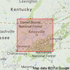
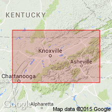
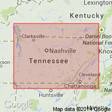
Chattanooga Shale in TN and northern AL is the distal fringe of the black gas shales in the southwestern Appalachian basin. In central TN, where the unit ranges in thickness from a featheredge to more than 35 ft it is divided into the Dowelltown Member below and the Gassaway Member above. In Wise Co., VA, the Chattanooga includes the Big Stone Gap Member (243 ft), which consists mostly of brownish-black and black shale.
Source: GNU records (USGS DDS-6; Reston GNULEX).
For more information, please contact Nancy Stamm, Geologic Names Committee Secretary.
Asterisk (*) indicates published by U.S. Geological Survey authors.
"No current usage" (†) implies that a name has been abandoned or has fallen into disuse. Former usage and, if known, replacement name given in parentheses ( ).
Slash (/) indicates name conflicts with nomenclatural guidelines (CSN, 1933; ACSN, 1961, 1970; NACSN, 1983, 2005, 2021). May be explained within brackets ([ ]).