The National Geologic Map Database is migrating to a new infrastructure. We apologize for any service disruptions during this process.
|
|---|


- Usage in publication:
-
- Big Saline group
- Modifications:
-
- Original reference
- Dominant lithology:
-
- Shale
- Sandstone
- Limestone
- AAPG geologic province:
-
- Llano uplift
Summary:
Pg. 66 (fig. 1), 83-85. Big Saline group. In much of north-central Texas, type Marble beds are unconformably overlain by group of shales, sandstone, and limestone, which is herein named Big Saline group. Underlies Smithwick group. Big Saline beds have commonly been included with the Marble Falls. Group is represented by some 50 feet of fusulinid-bearing limestones and shales in east-central McCulloch County; beds become more shaly eastward and identity at outcrop becomes less certain. Northward in subsurface, beds attain thickness of at least 400 feet in Ranger area and are divisible into two formations De Leon and Sipe Springs (both new); there De Leon formation overlies Comyn formation (new) of Marble Falls group. Age is Pennsylvanian (Lampasas).
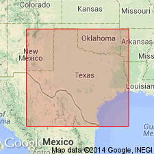
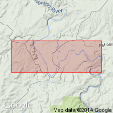
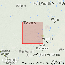
Type locality: near mouth of Big Saline Creek in eastern Kimble Co., north-central TX.
Type section (subsurface): depth-interval 3,760 to 4,132 ft (Sipe Springs 3,760 to 3,870 ft; De Leon 3,870 to 4,132 ft), Seaman No. 1 test well, northwestern Palo Pinto Co., north-central TX.
Probably named from Big Saline Creek where fusulinids FUSIELLA PRIMAEVA and FUSULINELLA LLANOENSIS were first described.
Source: US geologic names lexicon (USGS Bull. 1200, p. 338-339); supplemental information from GNU records (USGS DDS-6; Denver GNULEX).
- Usage in publication:
-
- Big Saline member
- Modifications:
-
- Revised
Summary:
Pg. 65, 67, 68, 73; 1944, Texas Univ. Bur. Econ. Geol. Mineral Resources Circ., no. 33, p. 6, 7. Big Saline member of Marble Falls formation. Overlies Sloan member (new); underlies Lemons Bluff member (new). [Age is Early Pennsylvanian (Bend).]
Source: US geologic names lexicon (USGS Bull. 1200, p. 338-339).
- Usage in publication:
-
- Big Saline formation
- Modifications:
-
- Revised
Summary:
Pg. 142, 143-145. Big Saline formation of Bend (Atoka) group. East of Cavern Ridge, includes (ascending) Gibbons conglomerate, Aylor oolite, Lemons Bluff spiculite, and Brister limestone members; west of Cavern Ridge includes (ascending) Gibbons, Brook Ranch, Lemons Bluff, and Soldiers members. Overlies Sloan formation; underlies Smithwick formation. Age is Early Pennsylvanian.
Source: US geologic names lexicon (USGS Bull. 1200, p. 338-339).
- Usage in publication:
-
- Big Saline formation
- Modifications:
-
- Revised
Summary:
Pg. 56 (fig. 13), 57-77. Big Saline formation. Here assigned to Marble Falls group, Bend series.
Source: US geologic names lexicon (USGS Bull. 1200, p. 338-339).
For more information, please contact Nancy Stamm, Geologic Names Committee Secretary.
Asterisk (*) indicates published by U.S. Geological Survey authors.
"No current usage" (†) implies that a name has been abandoned or has fallen into disuse. Former usage and, if known, replacement name given in parentheses ( ).
Slash (/) indicates name conflicts with nomenclatural guidelines (CSN, 1933; ACSN, 1961, 1970; NACSN, 1983, 2005, 2021). May be explained within brackets ([ ]).