- Usage in publication:
-
- Bethlehem gneiss
- Modifications:
-
- Named
- Dominant lithology:
-
- Gneiss
- AAPG geologic province:
-
- New England province
Summary:
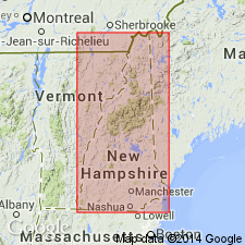
Bethlehem gneiss. Gneiss abundant in a talcoid mineral, probably pinite. Underlies whole [town] of Bethlehem.
Source: US geologic names lexicon (USGS Bull. 896, p. 176-177); supplemental information from GNU records (USGS DDS-6; Reston GNULEX).
- Usage in publication:
-
- Bethlehem gneiss
- Modifications:
-
- Revised
- AAPG geologic province:
-
- New England province
Summary:
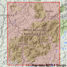
Pg. 135-151. Bethlehem gneiss. Characterized by either chlorite or green pinite. Rests unconformably on the porphyritic gneiss. Believed to be younger than White Mountain gneiss.
Source: US geologic names lexicon (USGS Bull. 896, p. 176-177).
- Usage in publication:
-
- Bethlehem gneiss
- Modifications:
-
- Revised
- AAPG geologic province:
-
- New England province
Summary:
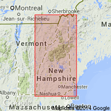
Pg. 304-309. Bethlehem gneiss believed to be older than White Mountain gneiss.
Source: US geologic names lexicon (USGS Bull. 896, p. 176-177).
- Usage in publication:
-
- Bethlehem gneiss
- Modifications:
-
- Overview
- AAPG geologic province:
-
- New England province
Summary:
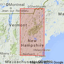
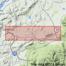
Pg. 104, 248-355, 428, and btw. pgs. 658 and 675. Bethlehem gneiss. Found between towns of Carroll and Littleton. Lacks schistose character and strata are nearly vertical. Occupies portions of towns of Carroll, Whitefield, Bethlehem, Franconia, Littleton, and Lisbon. Rock is characterized as reddish granitic gneiss, with flesh-colored orthoclase dominant, chloritic or hydro-micaceous mineral substituting mica, and amorphous quartz in varying proportions. The fine-grained is 5,000 feet thick and the ordinary gneiss 6,300 feet thick. Overlies the porphyritic gneiss (Laurentian). Assigned to Laurentian.
Source: US geologic names lexicon (USGS Bull. 896, p. 176-177); supplemental information from GNU records (USGS DDS-6; Reston GNULEX).
- Usage in publication:
-
- Bethlehem gneiss
- Modifications:
-
- Age modified
- Areal extent
- AAPG geologic province:
-
- New England province
Hitchcock, C.H., 1896, The geology of New Hampshire: Journal of Geology, v. 4, p. 44-62.
Summary:
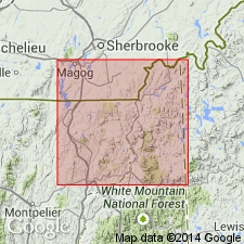
Pg. 44-62. Bethlehem gneiss or Bethlehem protogene. Chloritic gneiss. Occurs only on east slope of Connecticut [River] Valley. It does not follow that all these protogene areas are of same character. Each one must be studied by itself. They are batholiths. Assigned to the Archean.
Source: US geologic names lexicon (USGS Bull. 896, p. 176-177); supplemental information from GNU records (USGS DDS-6; Reston GNULEX).
- Usage in publication:
-
- Bethlehem granite
- Modifications:
-
- Revised
- Age modified
- AAPG geologic province:
-
- New England province
Summary:
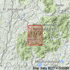
Pg. 461-482, map. Revised to Bethlehem granite. The porphyritic granite and Bethlehem granite are eruptive igneous rocks, of evidently of middle or late Paleozoic age.
Source: US geologic names lexicon (USGS Bull. 896, p. 176-177); supplemental information from GNU records (USGS DDS-6; Reston GNULEX).
- Usage in publication:
-
- Bethlehem granodiorite gneiss
- Modifications:
-
- Revised
- Age modified
- AAPG geologic province:
-
- New England province
Summary:
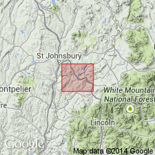
Pg. 9 and map. Revised to Bethlehem granodiorite gneiss. Assigned to late Devonian or late Carboniferous, and to New Hampshire magma series; and in 1935 Billings mapped it in Littleton and Moosilauke quadrangles (in Geology of Littleton and Mossilauke quadrangles, New Hampshire), and continued that age designation.
["New Hampshire magma series" considered informal. The practice of employing "Series" for lithostratigraphic or lithodemic nomenclature is now regarded as improper. Term "Series" is applied formally only to chronostratigraphic units (ACSN, 1961, 1970; NACSN, 1983, 2005, 2021).]
Source: US geologic names lexicon (USGS Bull. 896, p. 176-177); supplemental information from GNU records (USGS DDS-6; Reston GNULEX).
- Usage in publication:
-
- Bethlehem gneiss
- Modifications:
-
- Redescribed
- Mapped
- AAPG geologic province:
-
- New England province
Summary:
Pg. 504-506, 536-538, pls. 1, 12 (geol. maps). Bethlehem gneiss (text); Bethlehem granodiorite gneiss (geol. maps). Included in New Hampshire magma series.
(On p. 504, author proposes unit be called Bethlehem gneiss, it ranges in composition from granite to quartz diorite. On geol. maps, mapped btw. 1931 and 1934, unit described as medium- to coarse-grained gray granodiorite, composed of quartz, oligoclase-andesine, potash feldspar, biotite, and a little muscovite; usually foliated and strongly granulated. Is younger than [Early] Devonian, either Late Devonian or Late Carboniferous.)
Source: Publication; US geologic names lexicon (USGS Bull. 1200, p. 320-321).
- Usage in publication:
-
- Bethlehem gneiss*
- Modifications:
-
- Revised
- Age modified
- AAPG geologic province:
-
- New England province
Summary:
Bethlehem gneiss of the New Hampshire plutonic series used. Age is Late Devonian(?).
["New Hampshire plutonic series" considered informal. The practice of employing "Series" for lithostratigraphic or lithodemic nomenclature is now regarded as improper. Term "Series" is applied formally only to chronostratigraphic units (ACSN, 1961, 1970; NACSN, 1983, 2005, 2021).]
Source: GNU records (USGS DDS-6; Reston GNULEX).
- Usage in publication:
-
- Bethlehem gneiss
- Modifications:
-
- Principal reference
- AAPG geologic province:
-
- New England province
Summary:
Summary discussion. Type locality designated for unit as currently defined.
Type locality: exposures on Green Mountain, 2 mi southwest of Landaff, Moosilauke 15-min quadrangle, NH. Named for town of Bethlehem, Grafton Co., NH.
Source: US geologic names lexicon (USGS Bull. 1200, p. 320-321).
- Usage in publication:
-
- Bethlehem Gneiss*
- Modifications:
-
- Age modified
- AAPG geologic province:
-
- New England province
Summary:
Age of Bethlehem Gneiss and Kinsman Quartz Monzonite changed to Early(?) Devonian.
Source: GNU records (USGS DDS-6; Reston GNULEX).
- Usage in publication:
-
- Bethlehem Gneiss*
- Modifications:
-
- Age modified
- Geochronologic dating
- AAPG geologic province:
-
- New England province
Summary:
Rb-Sr whole-rock isochrons for the four main subdivisions of the New Hampshire Plutonic Series yield the following ages:
(1) Concord Granite, 359 +/-11 Ma (or 330 +/-3 Ma?);
(2) Spaulding Quartz Diorite, 402 +/-5 Ma;
(3) Bethlehem Gneiss, 405 +/-78 Ma;
(4) Kinsman Quartz Monzonite, 411 +/-19 Ma.
Concord Granite is at least 40 m.y. younger than other members of the New Hampshire Plutonic Series, making its time of emplacement Late Devonian(?) or Mississippian(?). However, the absolute time scale for the Devonian is questionable and the use of Early, Middle, or Late Devonian is not yet warranted.
["New Hampshire plutonic series" considered informal. The practice of employing "Series" for lithostratigraphic or lithodemic nomenclature is now regarded as improper. Term "Series" is applied formally only to chronostratigraphic units (ACSN, 1961, 1970; NACSN, 1983, 2005, 2021).]
Source: Modified from GNU records (USGS DDS-6; Reston GNULEX).
- Usage in publication:
-
- Bethlehem suite
- Modifications:
-
- Revised
- AAPG geologic province:
-
- New England province
Summary:
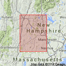
Revised to Bethlehem suite within the New Hampshire Plutonic Series (which also includes the Kinsman, Spaulding, and Concord suites). Kinsman and Bethlehem range in composition from tonalites to granites. [Abstract refers to unit as Bethlehem Series, but this appears to be in error.]
["New Hampshire plutonic series" considered informal. The practice of employing "Series" for lithostratigraphic or lithodemic nomenclature is now regarded as improper. Term "Series" is applied formally only to chronostratigraphic units (ACSN, 1961, 1970; NACSN, 1983, 2005, 2021).]
Source: GNU records (USGS DDS-6; Reston GNULEX).
- Usage in publication:
-
- Bethlehem Intrusive Suite
- Modifications:
-
- Revised
- AAPG geologic province:
-
- New England province
Summary:
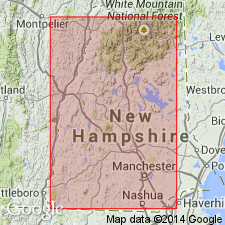
Revised to Bethlehem Intrusive Suite. [Reason not given; no detailed information on the unit.]
Source: GNU records (USGS DDS-6; Reston GNULEX).
- Usage in publication:
-
- Bethlehem Gneiss*
- Modifications:
-
- Age modified
- Geochronologic dating
- Areal extent
- AAPG geologic province:
-
- New England province
Summary:
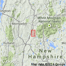
Composes Indian Pluton and Mount Clough plutons in this area. Both Fairlee pluton and Mount Clough pluton (Bethlehem Gneiss) to the east have been dated at 410 +/-5 Ma by U-Pb zircon methods (Aleinikoff and Moench, 1987; Moench and Aleinikoff, 1987; reported ages later revised by J.N. Aleinikoff, 1989, oral commun.). Report includes geologic map. [Report indicates Devonian age, but 410 +/-5 Ma would indicate a Silurian or Devonian(?) age according to available time charts. No explanation as to choice of Devonian here.]
Source: GNU records (USGS DDS-6; Reston GNULEX).
- Usage in publication:
-
- Bethlehem Gneiss*
- Modifications:
-
- Areal extent
- AAPG geologic province:
-
- New England province
Summary:
Rocks in Merrimack terrane of eastern edge of Glens Falls quadrangle include Bethlehem Gneiss and Kinsman Quartz Monzonite, which occupy most of the area. These and other related rock types constitute New Hampshire Plutonic Series of Billings (1956).
["New Hampshire plutonic series" considered informal. The practice of employing "Series" for lithostratigraphic or lithodemic nomenclature is now regarded as improper. Term "Series" is applied formally only to chronostratigraphic units (ACSN, 1961, 1970; NACSN, 1983, 2005, 2021).]
Source: Modified from GNU records (USGS DDS-6; Reston GNULEX).
- Usage in publication:
-
- Bethlehem Granodiorite*
- Modifications:
-
- Revised
- Age modified
- Geochronologic dating
- AAPG geologic province:
-
- New England province
Summary:
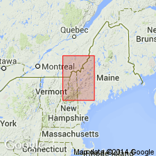
Revised to Bethlehem Granodiorite to emphasize its average granodiorite composition. Mapped as the Haverhill, Mount Clough, Indian Pond, and Fairlee plutons. Consists of strongly metamorphosed, foliated, gray, medium-grained biotite granodiorite and local tonalite and granite. Age is Devonian, based on isotopic age of 410 +/-5 Ma (J.N. Aleinikoff, this report, from Fairlee pluton), which is consistent with age of 409 +/-5 Ma reported by Kohn and others (1992) from Indian Pond pluton and Bellows Falls pluton (the latter is outside of map area in southwestern NH).
Source: Modified from GNU records (USGS DDS-6; Reston GNULEX).
- Usage in publication:
-
- Bethlehem Granodiorite*
- Modifications:
-
- Overview
- AAPG geologic province:
-
- New England province
Summary:
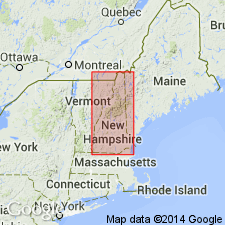
Bethlehem Granodiorite of New Hampshire Plutonic Suite. Consists of gray, strongly foliated biotite-muscovite granodiorite with associated tonalite and granite. Age is Early Devonian. Report includes geologic map, correlation chart, and 1:500,000-scale map showing plutons and localities of samples taken for isotopic dating.
Source: Modified from GNU records (USGS DDS-6; Reston GNULEX).
For more information, please contact Nancy Stamm, Geologic Names Committee Secretary.
Asterisk (*) indicates published by U.S. Geological Survey authors.
"No current usage" (†) implies that a name has been abandoned or has fallen into disuse. Former usage and, if known, replacement name given in parentheses ( ).
Slash (/) indicates name conflicts with nomenclatural guidelines (CSN, 1933; ACSN, 1961, 1970; NACSN, 1983, 2005, 2021). May be explained within brackets ([ ]).

