The National Geologic Map Database is migrating to a new infrastructure. We apologize for any service disruptions during this process.
|
|---|


- Usage in publication:
-
- Bergen shale member
- Modifications:
-
- Original reference
- Dominant lithology:
-
- Shale
- Mudstone
- AAPG geologic province:
-
- Denver basin
Summary:
Pg. 31, 33, 35, fig. 7. Bergen shale member of Lykins formation. Thin-bedded red arenaceous shales and mudstones containing numerous small irregular spots and streaks of bluish green. Thickness at type section 62 feet; at Ralston Creek 35 feet. Underlies Glennon limestone member (new); overlies Falcon limestone member (new). Age is Permian.
Type locality: in roadcut on Highway 74 just west of business district of town of Morrison and in west fork of Glennon Canyon, Golden-Morrison area, [Jefferson Co.], north-central CO. Named from Bergen irrigation ditch, which cuts through Lyons sandstone in Turkey Creek, in sec. 12, T. 5 S., R. 70 W., Morrison quadrangle, [Jefferson Co.], north-central CO.
Source: US geologic names lexicon (USGS Bull. 1200, p. 308).

- Usage in publication:
-
- Bergen shale member
- Modifications:
-
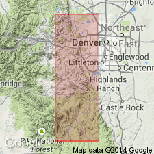
- Mapped 1:24k (Littleton quad, Arapahoe, Douglas, and Jefferson Cos, CO)
- Dominant lithology:
-
- Shale
- AAPG geologic province:
-
- Denver basin
Summary:
Is Permian? lower member of Lykins formation mapped in east-central Jefferson Co, CO (Denver basin). Mapped undifferentiated with Harriman shale member of Lykins. Crops out in valley between hogbacks of Lyons sandstone and Lytle and South Platte formations in southwestern portion of map area. As described by LeRoy (1946, CO Sch. Mines Quart., v.41, no. 2, p. 31) consists of 40 ft of moderate-reddish-brown thin-bedded silty shale. Map unit conformably overlies Lyons sandstone (Permian); underlies Glennon limestone member (Permian?) of Lykins.
Source: GNU records (USGS DDS-6; Denver GNULEX).
- Usage in publication:
-
- Bergen Shale Member*
- Modifications:
-
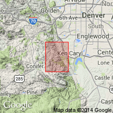
- Mapped 1:24k (Indian Hills quad, Jefferson Co, CO)
- Dominant lithology:
-
- Shale
- AAPG geologic province:
-
- Denver basin
Summary:
Is Permian member of Lykins Formation (Permian and Triassic?) mapped in central Jefferson Co, CO (Denver basin). Is third of five (ascending) members of Lykins. Outcrops in northeast part of quad in very narrow band along Hogback. Conformably overlies Falcon Limestone Member (Permian) of Lykins; conformably underlies Forelle Limestone Member (Upper Permian) of Lykins. Map unit described as moderate-reddish-brown thin-bedded silty shale. Thickness about 40 ft.
Source: GNU records (USGS DDS-6; Denver GNULEX).
For more information, please contact Nancy Stamm, Geologic Names Committee Secretary.
Asterisk (*) indicates published by U.S. Geological Survey authors.
"No current usage" (†) implies that a name has been abandoned or has fallen into disuse. Former usage and, if known, replacement name given in parentheses ( ).
Slash (/) indicates name conflicts with nomenclatural guidelines (CSN, 1933; ACSN, 1961, 1970; NACSN, 1983, 2005, 2021). May be explained within brackets ([ ]).