

- Usage in publication:
-
- Berg Formation
- Modifications:
-
- Named
- Dominant lithology:
-
- Sand
- Gravel
- AAPG geologic province:
-
- Alaska Southeastern region
Summary:
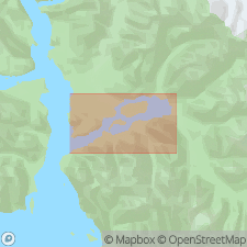
Type section designated as exposures in north bank of Berg Creek 2 km east of Adams Inlet, 58 deg 54' 39"N, 135 deg 45' 24"W, top of section is 6.2 km north 35 deg east of top of Tree Mountain, southeast AK. Composed of medium- to coarse-grained sand and gravel, outwash, deltaic and fluvial-plain deposits. Divided into 2 informal units, lower sand member and upper gravel member. Type section is 130 m thick, range is 69 to 130 m. Gradationally overlies Adams Formation (new). Underlies Glacier Bay Formation. Age is Holocene (1100 yr B.P.).
Source: GNU records (USGS DDS-6; Menlo GNULEX).
For more information, please contact Nancy Stamm, Geologic Names Committee Secretary.
Asterisk (*) indicates published by U.S. Geological Survey authors.
"No current usage" (†) implies that a name has been abandoned or has fallen into disuse. Former usage and, if known, replacement name given in parentheses ( ).
Slash (/) indicates name conflicts with nomenclatural guidelines (CSN, 1933; ACSN, 1961, 1970; NACSN, 1983, 2005, 2021). May be explained within brackets ([ ]).