- Usage in publication:
-
- Bell's Landing marl
- Modifications:
-
- Named
- Dominant lithology:
-
- Marl
- AAPG geologic province:
-
- Mid-Gulf coast basin
Summary:
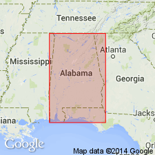
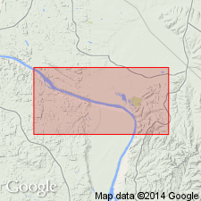
Bell's Landing marl (new name for exposures at Bells Landing, on Alabama River, in Monroe Co.) consists of greensand shell marl with indurated bed in its midst or at top. Thickness 10 to 15 feet. Separated from younger Wood's Bluff marl by 50 to 80 feet of lignitic clays and sands. Included in LaGrange or Lignitic. Age is early Eocene.
Source: GNU records (USGS DDS-6; Reston GNULEX).

- Usage in publication:
-
- Bell's Landing marl
- Modifications:
-
- Overview
- AAPG geologic province:
-
- Mid-Gulf Coast basin
Summary:
Unit is fossiliferous marine marl, 10 feet thick. Distinguished from all other marls in AL by great size of shells it contains. Overlain by 40 feet of sandy strata, forming top of Bell's Landing section, and separated from the older Gregg's Landing marl by 20 to 25 feet of dark-gray sandy clays.
Source: GNU records (USGS DDS-6; Reston GNULEX).

- Usage in publication:
-
- Bells Landing Marl Member
- Modifications:
-
- Age modified
- Overview
- AAPG geologic province:
-
- Mid-Gulf Coast basin
Summary:
Occurs in the lower part of the Tuscahoma Sand of the Wilcox Group, but above the Greggs Landing Marl Member. Unit is 9 ft thick and is a very fine grained glauconitic, fossiliferous sand, containing large pillow-shaped concretions. Age is Paleocene (Sabinian--late Thanetian), not Eocene as assumed by previous authors.
Source: GNU records (USGS DDS-6; Reston GNULEX).

- Usage in publication:
-
- Bells Landing Marl Member*
- Modifications:
-
- Biostratigraphic dating
- AAPG geologic province:
-
- Mid-Gulf Coast basin
Summary:
The Bells Landing Marl Member of the Tuscahoma Formation is included in the upper part of calcareous nannofossil zone NP9 and is of late Paleocene age. The Bells Landing Marl Member is the uppermost shelly, glauconitic sand bed or marl of the Tuscahoma Formation.
Source: GNU records (USGS DDS-6; Reston GNULEX).
For more information, please contact Nancy Stamm, Geologic Names Committee Secretary.
Asterisk (*) indicates published by U.S. Geological Survey authors.
"No current usage" (†) implies that a name has been abandoned or has fallen into disuse. Former usage and, if known, replacement name given in parentheses ( ).
Slash (/) indicates name conflicts with nomenclatural guidelines (CSN, 1933; ACSN, 1961, 1970; NACSN, 1983, 2005, 2021). May be explained within brackets ([ ]).

