

- Usage in publication:
-
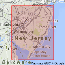
- Belleplain Formation*
- Modifications:
-
- Named
- Dominant lithology:
-
- Clay
- Silt
- Sand
- AAPG geologic province:
-
- Atlantic Coast basin
Summary:
Belleplain Formation. Consists of interbedded, thin- to thick-bedded, dark clay or clay-silt and fine- to medium-grained sand. Unit is mostly restricted to the eastern part of southern New Jersey, in subsurface and outcrop. Is thickest, up to 91.5 m, in the subsurface along the coast. Unconformably overlies the Wildwood Formation and underlies the Cohansey Formation. Age is middle Miocene (Serravallian), based on diatom biostratigraphy.
[Type section (subsurface)]: corehole at Belleplain Forest headquarters, Lat. 39 deg. 25 min. 20 sec. N., Long. 75 deg. 00 min. 30 sec. W., Cumberland Co., southern NJ. Named from Belleplain Forest, Cumberland Co., southern NJ.
Source: Modified from GNU records (USGS DDS-6; Reston GNULEX).
For more information, please contact Nancy Stamm, Geologic Names Committee Secretary.
Asterisk (*) indicates published by U.S. Geological Survey authors.
"No current usage" (†) implies that a name has been abandoned or has fallen into disuse. Former usage and, if known, replacement name given in parentheses ( ).
Slash (/) indicates name conflicts with nomenclatural guidelines (CSN, 1933; ACSN, 1961, 1970; NACSN, 1983, 2005, 2021). May be explained within brackets ([ ]).