The National Geologic Map Database is migrating to a new infrastructure. We apologize for any service disruptions during this process.
|
|---|


- Usage in publication:
-
- Belcher Hill Formation
- Modifications:
-
- Original reference
- Dominant lithology:
-
- Schist
- Quartzite
- AAPG geologic province:
-
- Denver basin
Summary:
Pg. 135-137. Belcher Hill Formation. Consists of: (1) dark-gray, highly crenulated, micaceous, coarse-textured, gneissic schist facies; and (2) gray, fine- to medium-grained, thin-bedded to massive schist-quartzite facies. Contains quartz and pegmatite lenses throughout. Thickness 8,000 to 12,000 feet (2,400 to 3,700 m). Younger than Ralston Buttes Formation. Older than Crawford Gulch Formation. Age is Precambrian X.
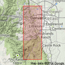
Type locality: in NE/4 sec. 7 and SW/4 sec. 6, T. 3 S., R. 70 W., [west of Golden in White Ranch County Park, approx. Lat. 39 deg. 48 min. 43 sec. N., Long. 105 deg. 16 min. 00 sec. W., Ralston Buttes 7.5-min quadrangle, Jefferson Co., central CO.] Named from Belcher Hill, a ridge north of Van Bibber Creek, Ralston Buttes 7.5-min quadrangle, Jefferson Co., central CO. [Lat./Long. coords. from USGS GNIS database and ACME Mapper 2.0, accessed October 17, 2011.]
Source: US geologic names lexicon (USGS Bull. 1520, p. 24); GNU records (USGS DDS-6; Denver GNULEX).
- Usage in publication:
-
- Belcher Hill Formation
- Modifications:
-
- Areal extent
- AAPG geologic province:
-
- Southern Rocky Mountain region
Summary:
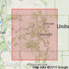
Pg. D2 (fig. 1), D4 (table 1). Belcher Hill Formation. Recognized in narrow belt along east-central Front Range near Golden, [Jefferson County], central Colorado. Name of doubtful application elsewhere. Assumed direction of stratigraphic sequence debatable. Age is considered Precambrian X.
(See Sheridan and others, 1967, USGS Prof. Paper 520.)
Source: Publication.
For more information, please contact Nancy Stamm, Geologic Names Committee Secretary.
Asterisk (*) indicates published by U.S. Geological Survey authors.
"No current usage" (†) implies that a name has been abandoned or has fallen into disuse. Former usage and, if known, replacement name given in parentheses ( ).
Slash (/) indicates name conflicts with nomenclatural guidelines (CSN, 1933; ACSN, 1961, 1970; NACSN, 1983, 2005, 2021). May be explained within brackets ([ ]).