- Usage in publication:
-
- Beauvais sandstone
- Modifications:
-
- Areal extent
- Dominant lithology:
-
- Sandstone
- AAPG geologic province:
-
- Ozark uplift
Summary:
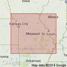
Pg. 174-175. Beauvais sandstone. Name taken from unpublished ms. of S. Weller. Consists of very pure quartz sand of medium grain, well rounded. Chiefly very white and moderately friable, but at places becomes stained and indurated. Underlies St. Lorenz [St. Laurent] limestone and overlies Grand Tower limestone. Lithologically closely resembles St. Peter sandstone. Maximum exposed thickness 50 feet. [Age is Middle Devonian.]
Source: US geologic names lexicon (USGS Bull. 896, p. 136).

- Usage in publication:
-
- Beauvais formation
- Modifications:
-
- Principal reference
- Dominant lithology:
-
- Sandstone
- AAPG geologic province:
-
- Ozark uplift
Summary:
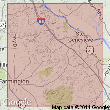
Pg. 148-150. Beauvais formation. [Same definition as C.L. Dake, Missouri Geol. Mines, v. 15, 2nd ser., 1918]. In some places the sandstone becomes harder, finer grained, and somewhat quartzitic. Type exposures along Little Saline Creek, in Beauvais Township, Ste. Genevieve County, eastern Missouri. Occurs only within Little Saline faulted zone in Ste. Genevieve County. The sand of formation was clearly derived from St. Peter sandstone. No evidence of unconformity with overlying St. Laurent limestone but there may be unconformity between Beauvais and underlying Grand Tower limestone. Fossils rare. Probably of early Hamilton age, but possibly of latest Onondaga age [Middle Devonian].
Source: US geologic names lexicon (USGS Bull. 896, p. 136).

- Usage in publication:
-
- Beauvais Sandstone Member
- Modifications:
-
- Revised
- AAPG geologic province:
-
- Ozark uplift
Summary:
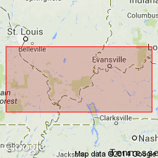
Rank reduced and assigned to basal part of St. Laurent Formation (revised). Beauvais restricted to small area within Ste. Genevieve Fault Zone in Ste. Genevieve Co, MO, Ozark uplift. Reduced to member rank because unit has only very local occurrence. Beauvais has sharp, unconformable lower contact with Grand Tower Limestone and gradational upper contact suggesting Beauvais should be member of St. Laurent rather than Grand Tower. May correlate with sporadic occurrences of sandstones up to 3 m thick at same horizon within Lingle Formation in St. Clair Co, IL. Maximum thickness is 15 m. Correlation chart. Assigned Eifelian (Middle Devonian) age.
Source: GNU records (USGS DDS-6; Denver GNULEX).
For more information, please contact Nancy Stamm, Geologic Names Committee Secretary.
Asterisk (*) indicates published by U.S. Geological Survey authors.
"No current usage" (†) implies that a name has been abandoned or has fallen into disuse. Former usage and, if known, replacement name given in parentheses ( ).
Slash (/) indicates name conflicts with nomenclatural guidelines (CSN, 1933; ACSN, 1961, 1970; NACSN, 1983, 2005, 2021). May be explained within brackets ([ ]).

