- Usage in publication:
-
- Bear Springs basalt
- Modifications:
-
- Original reference
- Dominant lithology:
-
- Basalt
- AAPG geologic province:
-
- Orogrande basin
- Basin-and-Range province
Summary:
Pg. 39 (table 3), 48-49, pl. 1. Bear Springs basalt. Flows of purple fine-grained porphyritic iddingsite-bearing rock, at times scoriaceous. Thickness about 150 feet. Unconformable contacts with Razorback formation below and Santa Fe(?) formation above. [Age is late Tertiary.]
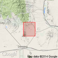
[Elston (1957) cites Jicha (1954) as designating type locality in sec. 25, T. 18 S., R. 9 W., Lake Valley quadrangle, southwestern NM. Named from outcrop at intersection of secs. 17, 18, 19, and 20, T. 20 S., R. 8 W., about 0.5 mi distant from Bear Springs Canyon (Jicha, 1954, p. 48). However, pl. 1 (geol. map) does not show unit mapped at this locality. Bear Springs Canyon crosses secs. 17, 18, 19, and 20, T. 19 S., R. 8 W., Sierra Co., Lake Valley 15-min quadrangle, USGS 1962 ed.]
Source: US geologic names lexicon (USGS Bull. 1200, p. 254).

- Usage in publication:
-
- Bear Springs basalt
- Modifications:
-
- Revised
- Overview
- AAPG geologic province:
-
- Basin-and-Range province
Summary:
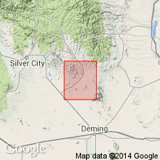
Revised in the Bear Springs basalt of the "Upper volcanic series" overlies the newly named Razorback formation and underlies the newly named Swartz rhyolite. Mapped (geologic map) in west-central and north-central parts of quad. in Grant Co., NM in the Basin-and-Range province. Type locality stated to be in sec. 25, T 18 S, R 9 W, Lake Valley quad., Sierra Co., NM, Orogrande basin. Composed of basalt flows and feeders, breccias, agglomerates, conglomerates, and rarely chocolate-colored sandy tuffs. Its groundmass is gray to black, dense, holocrystalline, and fine grained. Red-brown iddingsite flakes are abundant. Opal common as a secondary mineral in scoriaceous rocks. The basalt is black, fine- to medium-grained, holocrystalline. The tops and bottoms of the flows are scoriaceous, fragmental, and reddish. Flow, flow banding, or flow layering absent because of the high fluidity of basaltic lava. Vesicular and amygdaloidal rock more abundant than massive. Full thickness not known; about 650 ft measured near mouth of Tom Brown Canyon. Assigned to the Tertiary.
Source: GNU records (USGS DDS-6; Denver GNULEX).
For more information, please contact Nancy Stamm, Geologic Names Committee Secretary.
Asterisk (*) indicates published by U.S. Geological Survey authors.
"No current usage" (†) implies that a name has been abandoned or has fallen into disuse. Former usage and, if known, replacement name given in parentheses ( ).
Slash (/) indicates name conflicts with nomenclatural guidelines (CSN, 1933; ACSN, 1961, 1970; NACSN, 1983, 2005, 2021). May be explained within brackets ([ ]).

