The National Geologic Map Database is migrating to a new infrastructure. We apologize for any service disruptions during this process.
|
|---|


- Usage in publication:
-
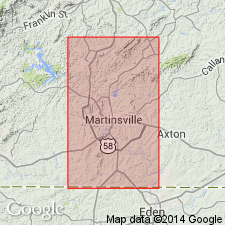
- Bassett Formation
- Modifications:
-
- Named
- Dominant lithology:
-
- Gneiss
- AAPG geologic province:
-
- Piedmont-Blue Ridge province
Summary:
Named Bassett Formation for town of Bassett, Henry Co., VA. Unit is a Precambrian biotite gneiss.
Source: GNU records (USGS DDS-6; Reston GNULEX).
- Usage in publication:
-
- Bassett Formation
- Modifications:
-
- Overview
- AAPG geologic province:
-
- Piedmont-Blue Ridge province
Summary:
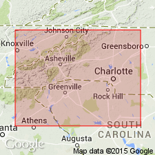
In southern VA, Bassett Formation of Conley and Henika (1973) is physically lowest formation and interpreted as oldest unit in the Smith River allochthon. Consists of a lower biotite gneiss member and an upper amphibolite member. Lower unit is fairly homogeneous, medium-grained, and generally very thinly layered with zones of migmatite and pods and lenses of ultramafic rock and thin metagabbro bodies. Units mapped in NC by Lewis (1980) as "felsic gneiss mixed with biotite gneiss" and as "biotite gneiss" may be equivalent to the biotite gneiss member of the Bassett Formation. Amphibolite member thins to the southwest and is not abundant in NC. Underlies Fork Mountain Formation.
Source: GNU records (USGS DDS-6; Reston GNULEX).
For more information, please contact Nancy Stamm, Geologic Names Committee Secretary.
Asterisk (*) indicates published by U.S. Geological Survey authors.
"No current usage" (†) implies that a name has been abandoned or has fallen into disuse. Former usage and, if known, replacement name given in parentheses ( ).
Slash (/) indicates name conflicts with nomenclatural guidelines (CSN, 1933; ACSN, 1961, 1970; NACSN, 1983, 2005, 2021). May be explained within brackets ([ ]).