- Usage in publication:
-
- Barton Creek limestone
- Modifications:
-
- Original reference
- Dominant lithology:
-
- Limestone
- AAPG geologic province:
-
- Bend arch
Summary:
[Name credited to Plummer.] Barton Creek limestone, in lower part of Mineral Wells formation, lies lower in section than Santo limestone. [Age is Pennsylvanian.]
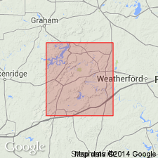
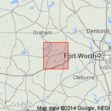
[Notable exposures on Barton Creek, Palo Pinto Co., central northern TX.]
Source: US geologic names lexicons (USGS Bull. 896, p. 122; USGS Bull. 1200, p. 226).

- Usage in publication:
-
- Barton Creek limestone member
- Modifications:
-
- Abandoned
- AAPG geologic province:
-
- Bend arch
Summary:
Pg. 106. Barton Creek limestone member of Garner formation is preoccupied by Barton Creek limestone of Cretaceous of Texas and is discarded. [It is listed as basal member of Garner formation, the name Mineral Wells formation being restricted to upper part of the original Mineral Wells formation. Does not say what name replaces it.]
Source: US geologic names lexicon (USGS Bull. 896, p. 122).

- Usage in publication:
-
- Barton Creek limestone
- Modifications:
-
- Reinstated [?]
- AAPG geologic province:
-
- Bend arch
Summary:
Plummer and Hornberger do not refer to this name under their description of geology of Palo Pinto County, nor on map of that County, but under description of "Underground water" of Palo Pinto County, they state (p. 162) that their newly proposed Buck Creek sandstone lies in interval between Brannon Bridge and Barton Creek limestone members of Millsap Lake formation, which underlies Garner formation.
Source: US geologic names lexicon (USGS Bull. 896, p. 122).

- Usage in publication:
-
- Barton Creek limestone
- Modifications:
-
- Not used
- AAPG geologic province:
-
- Fort Worth syncline
Summary:
Pg. 70. Barton Creek limestone in Strawn series. Listed in summary of nomenclature of Morrow, Bend, and Strawn series, Fort Worth basin area. Millsap group, Strawn series. Lies lower in section than Santo limestone and above Buck Creek sandstone. Name not now in use.
Source: US geologic names lexicon (USGS Bull. 1200, p. 226).
For more information, please contact Nancy Stamm, Geologic Names Committee Secretary.
Asterisk (*) indicates published by U.S. Geological Survey authors.
"No current usage" (†) implies that a name has been abandoned or has fallen into disuse. Former usage and, if known, replacement name given in parentheses ( ).
Slash (/) indicates name conflicts with nomenclatural guidelines (CSN, 1933; ACSN, 1961, 1970; NACSN, 1983, 2005, 2021). May be explained within brackets ([ ]).

