

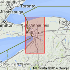
- Usage in publication:
-
- Barge Canal Bed
- Modifications:
-
- Named
- Dominant lithology:
-
- Shale
- AAPG geologic province:
-
- Appalachian basin
Summary:
Barge Canal Bed of Vernon Formation was introduced by author in a 1985 abstract (Rochester Acad. Sci Proc). The black shales at the Barge Canal were first described by Ruedemann (1919: New York State Museum Bull. 219-220). Outcrop is exposed when the canal is drained during the winter and consists of black shale grading upward into more greenish to bluish-weathering shale. Well developed salt hoppers evident. Abundant eurypterids. Stratigraphically overlies the Pittsford Bed. Intervening Salina strata probably ranges from >20 to <60 ft.
Source: GNU records (USGS DDS-6; Reston GNULEX).
For more information, please contact Nancy Stamm, Geologic Names Committee Secretary.
Asterisk (*) indicates published by U.S. Geological Survey authors.
"No current usage" (†) implies that a name has been abandoned or has fallen into disuse. Former usage and, if known, replacement name given in parentheses ( ).
Slash (/) indicates name conflicts with nomenclatural guidelines (CSN, 1933; ACSN, 1961, 1970; NACSN, 1983, 2005, 2021). May be explained within brackets ([ ]).