The National Geologic Map Database is migrating to a new infrastructure. We apologize for any service disruptions during this process.
|
|---|


- Usage in publication:
-
- Bandera shales*
- Modifications:
-
- Original reference
- Dominant lithology:
-
- Shale
- Sandstone
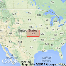
- AAPG geologic province:
-
- Cherokee basin
Summary:
Pg. 32. Bandera shales. Shales, 100 feet thick, carrying considerable thin-bedded sandstone, and some coal (coal beds not persistent for any distance). Exposed on the Marmaton River, near Bandera, in Bourbon County, Kansas. Extends to west of Farlington, near Brazilton, and near the Neosho River, east of Parsons. Overlies Pawnee limestone (new; formerly called Altamont limestone); underlies Parsons limestone. Equivalent to "Lower Pleasanton shales" of Haworth (1895). Age is late Carboniferous.
Named from Bandera, Bourbon Co., southeastern KS, near which it is quarried.
Source: US geologic names lexicon (USGS Bull. 896, p. 108-109); supplemental information from GNU records (USGS DDS-6; Denver GNULEX).

- Usage in publication:
-
- Bandera shale*
- Modifications:
-
- Overview
Summary:
Pg. 109. Bandera shale. Adopted by the USGS many years ago as of formation of Pleasanton group in Kansas, overlying Pawnee limestone and underlying Altamont limestone, basal member of Parsons formation. But R.C. Moore has recently abandoned Parsons formation, and now treats Bandera shale of Kansas as a distinct formation in his Marmaton group. This changed classification has not yet [ca. 1938] been considered by the USGS for its publications.
Source: US geologic names lexicon (USGS Bull. 896, p. 108-109).
- Usage in publication:
-
- Bandera shale
- Modifications:
-
- Overview
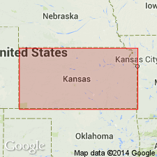
- AAPG geologic province:
-
- Cherokee basin
Summary:
Pg. 26-27 (fig. 2). Columnar section shows Bandera shale in Henrietta group.
Source: US geologic names lexicon (USGS Bull. 1200, p. 208).
- Usage in publication:
-
- Bandera shale
- Modifications:
-
- Revised
- Reference
- AAPG geologic province:
-
- Cherokee basin
Summary:
Pg. 292, 321-325, pl. 1. Bandera shale of Marmaton group. Subdivided to include Bandera Quarry sandstone member (new). Overlies Laberdie limestone member (new) of Pawnee limestone; underlies Tina limestone member of Altamont limestone. Thickness commonly 50 feet. Included in Marmaton group. Note on type exposure.
Named from Bandera Station in sec. 29, T. 25 S., R. 23 E., Bourbon Co., southeastern KS.
Source: US geologic names lexicon (USGS Bull. 1200, p. 208).

- Usage in publication:
-
- Bandera shale
- Modifications:
-
- Overview
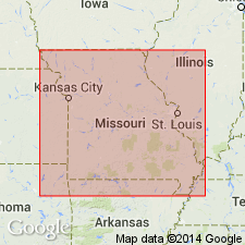
- AAPG geologic province:
-
- Cherokee basin
Summary:
Bandera shale of Marmaton group. Mainly nonmarine gray, yellow, and maroon, blocky and well bedded clay shale with massive to thin-bedded sandstone. Thickness 20 to 50 feet; averages 35 feet. In southeastern Kansas, includes Bandera Quarry sandstone member (about 15 feet thick) and Mulberry coal bed. Underlies Altamont limestone and overlies Pawnee limestone, both of Marmaton group. Plant fossils. Age is Middle Pennsylvanian (Desmoinesian).
Source: Modified from GNU records (USGS DDS-6; Denver GNULEX).
- Usage in publication:
-
- Bandera shale
- Modifications:
-
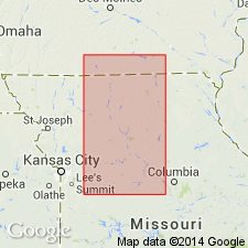
- Areal extent
- AAPG geologic province:
-
- Forest City basin
Summary:
Pg. 15-17. Bandera shale. Geographically extended into Missouri. Underlies Altamont formation. In some areas Amoret limestone member. [Amoret replaces Tina.] Overlies Pawnee formation, Coal City member.
Source: US geologic names lexicon (USGS Bull. 1200, p. 209).
- Usage in publication:
-
- Bandera shale member
- Modifications:
-
- Revised
- Areal extent
Summary:
Pg. 28. Bandera shale member of Oologah limestone. Term Oologah is extended to Kansas-Oklahoma line to include (ascending) Pawnee limestone, Bandera shale, and Altamont limestone as members.
Source: US geologic names lexicon (USGS Bull. 1200, p. 209).

- Usage in publication:
-
- Bandera shale
- Modifications:
-
- Reference
- Areal extent
- AAPG geologic province:
-
- Cherokee basin
Summary:
Pg. 31, fig. 5. Bandera shale of Marmaton group. In southwestern Iowa, formation comprises rocks between Altamont formation above and Pawnee formation below. Not subdivided, and where Amoret member of Altamont is missing is is not possible to differentiate the formations. Bandera is well exposed below the Amoret and above Coal City limestones in ravine in NW/4 sec. 26, T. 75 N., R. 26 W., Madison County. Here it consists of 10 feet of red and green mottled clay and shale at top followed by 15 feet of green micaceous cross-bedded sandstone and siltstone below. Age is Middle Pennsylvanian (Des Moines).
Source: US geologic names lexicon (USGS Bull. 1200, p. 209).
For more information, please contact Nancy Stamm, Geologic Names Committee Secretary.
Asterisk (*) indicates published by U.S. Geological Survey authors.
"No current usage" (†) implies that a name has been abandoned or has fallen into disuse. Former usage and, if known, replacement name given in parentheses ( ).
Slash (/) indicates name conflicts with nomenclatural guidelines (CSN, 1933; ACSN, 1961, 1970; NACSN, 1983, 2005, 2021). May be explained within brackets ([ ]).