

- Usage in publication:
-
- Back Bed*
- Modifications:
-
- Original reference
- Dominant lithology:
-
- Limestone
- AAPG geologic province:
-
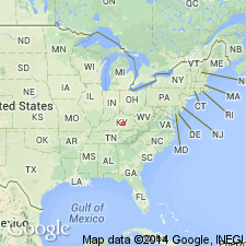
- Cincinnati arch
Summary:
Pg. D11-D12. Back Bed of Tate Member of Ashlock Formation. Thin beds of olive-gray, fine- to coarse-grained silty limestone containing silicified large brachiopods and bryozoans; about 4 to 8 feet thick. Present in lower part of member, about 5 to 15 feet above base. [Age is Late Ordovician.]
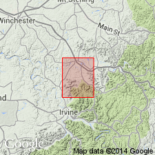
Named from representative outcrops along Back Creek, central Garrard Co., south-central KY.
Source: US geologic names lexicon (USGS Bull. 1350, p. 40); GNU records (USGS DDS-6; Reston GNULEX).
- Usage in publication:
-
- Back Bed*
- Modifications:
-
- Areal extent
- AAPG geologic province:
-
- Cincinnati arch
Summary:
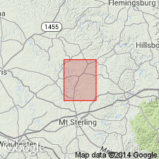
Back Bed of Tate Member of Ashlock Formation. In Richmond North quadrangle, Madison and Fayette Counties, south-central Kentucky, consists of grayish-green limestone; weathers grayish-yellow green. At some places occurs in one relatively thick ledge; at others in resistant layers less than 0.3 foot thick separated by shaly partings. Fossiliferous. Occurs between a lower and an upper limestone unit. [Age is Late Ordovician.]
Source: US geologic names lexicon (USGS Bull. 1350, p. 40).
- Usage in publication:
-
- Back Bed*
- Modifications:
-
- Revised
- AAPG geologic province:
-
- Cincinnati arch
Summary:
Back Bed of Tate Member assigned to Grant Lake Limestone in Sharpsburg quad, KY.
Source: GNU records (USGS DDS-6; Reston GNULEX).
For more information, please contact Nancy Stamm, Geologic Names Committee Secretary.
Asterisk (*) indicates published by U.S. Geological Survey authors.
"No current usage" (†) implies that a name has been abandoned or has fallen into disuse. Former usage and, if known, replacement name given in parentheses ( ).
Slash (/) indicates name conflicts with nomenclatural guidelines (CSN, 1933; ACSN, 1961, 1970; NACSN, 1983, 2005, 2021). May be explained within brackets ([ ]).